The study provides a simplified method of evaluating the earthquake risk by combining both hazard and vulnerability in Vancouver. The physical characteristics of the city are not very susceptible to seismic activities due to the relative well-structured soil composition, elevated foundation and low landslide risk. However, if we consider factors such as population density, land-use, hospital availability, and gas-line distribution, Vancouver is undoubtedly vulnerable to large earthquakes events.
According to our final result, the overall risk is highest at two places: the southern coast and around the Arbutus Ridge. The main contributor to the high risk at the southern coast is that it is located along the coast and has relatively low elevations, and is therefore most at risk of tsunami threat. On the other hand, seawalls have been built around most of the downtown peninsula south of False Creek to defend the coast from tidal intrusions (City of Vancouver, 2016b). The absence of coastal protection in the Fraser River bank also increases vulnerability to tsunamis or rising sea levels. The Arbutus Ridge is another place in Vancouver that has a high risk index, and the reason is mainly due to the surface geology of the region. The surface soil type is either silt and clay or sand, both of which are associated with a high liquefaction hazard. With that being said, these areas may suffer the greatest extent of shakes during an earthquake. In order to mitigate earthquake impacts, tall buildings should not be built in this area, since they will likely to collapse after earthquakes. We found out that large medical facilities like hospitals are not evenly distributed across the city. They are mainly concentrated near False Creek and the Oak Street corridor. For this reason, the city must establish more mobile emergency locations other than existing hospitals so that patients everywhere in the city will have better access to medical treatment.
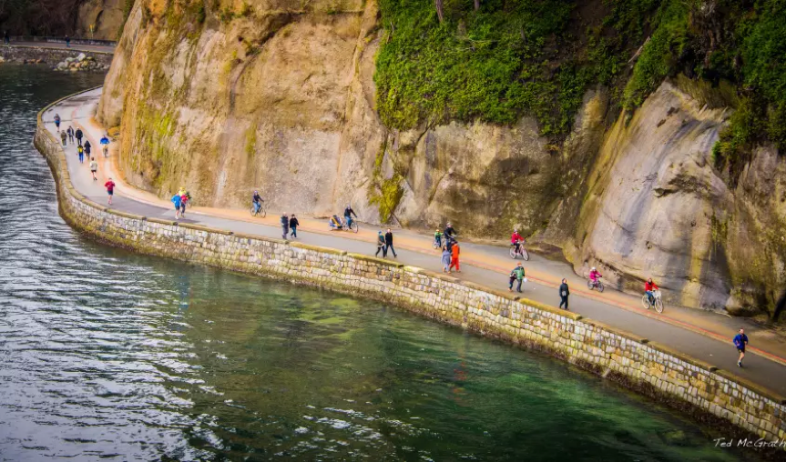
Fig 6. Seawalls built to combat waves at Vancouver city (Photo credit: Ted McGrath | Flickr)
Conclusion
In general, we have achieved the main objective to identify the overall earthquake risk in the city of Vancouver through combining the hazards and vulnerability factors in our project. By using the Multi-Criteria Evaluation (MCE), we comprehensively examined various factors and criteria, and then derived an overall earthquake evaluation map. The study has been able to determine areas of relative safety and unsafety based on physical (slope, soil, elevation) and social (land use, population, hospitals, gas-lines) characteristics. In comparison to previous studies which studied the entire GVRD, we focused on Vancouver’s city boundary. Therefore, our team was able to conduct more detailed observations on a smaller study scale, and our results have matched evaluations from previous researchers.
Limitation
-
Lack of building age and building height data
We intended to include building age & height into our vulnerability study factor. However, due to big data and the running capacity of the PC at computer labs, we failed to incorporate them in our study. In real earthquake situations, building age and building height are crucial factors in evaluating potential building damage.
-
Lack of investigation of earthquake properties
The earthquake damage is associated with the property of the earthquake itself, including its magnitude, epicenter, and depth. In the beginning, we intended to use Hazus as the tool to simulate different earthquake intensities. However, due to the fact that we failed to get the rights to download the software, we switched to the Multiple Criteria Evaluation (MCE) instead. Further studies with Hazus are needed to assess the earthquake risk with greater accuracy and in greater detail.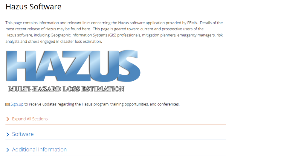
Fig 7. The screenshot of Hazus software
-
The subjectivity in determination of the hazard score and the vulnerability score, as well as the weight of each factor
Although we introduced AHP into the determination of the relative weight of each vulnerability and hazard factor, the determination process was still subjective. For example, the literature merely sorts the soil types from weaker to strong shaking amplification effect, yet does not label them with classes like low, moderate, or high. When we labelled the five major soil types with 0, 0.25…1.0, we were not sure if the 0.25 interval was appropriate for representing the differences between actual hazard levels among various soil types.