Abstract
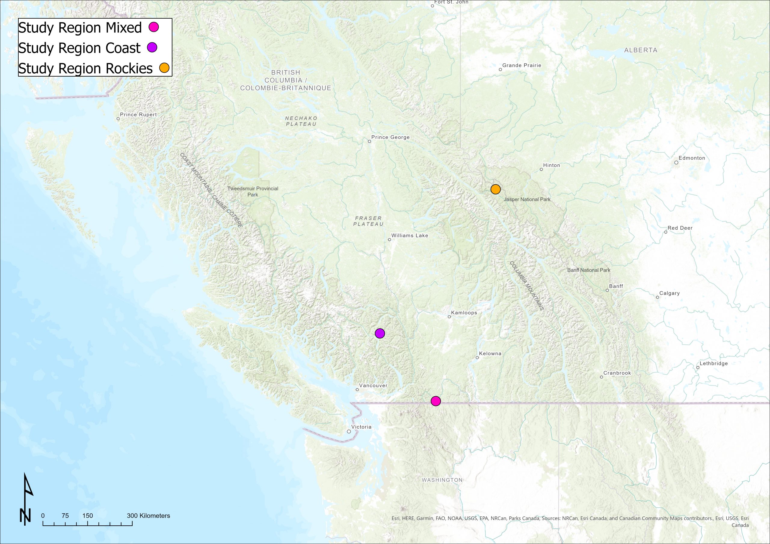
Backcountry exploration during winter and early spring months can be treacherous for those both inexperienced and experienced. Avalanche danger is almost always apparent. Being able to have a basic understanding of snowpack and terrain is essential for safe passage. This study utilizes terrain qualities to determine the safest route and timing in the season to travel between two points in a mountain range. Three locations were selected from the Coast Mountains, Interior Transition Zone, and the Rockies.
The terrain qualities utilized to conduct this analysis were slope angle, elevation, convexity, and aspect. An analytical hierarchy process weighted these elements, which were then used in a multi-criteria evaluation (MCE) to determine an area of lowest hazard within each region. A least-cost path was then used utilized to determine a safe path from the top of a mountain to the nearest road.
Data results from this analysis proved to be quite variable. The MCE did successfully select areas of low hazards within the region but identification based on experience proves that areas of lower hazards could have been selected. Additionally, the least-cost path identified a descent route of reasonably low hazards but an investigation through backcountry experience deemed that lower hazard route choices were possible.
As the computational representation of snowpack and avalanche analysis improves, human judgment is still the best form of analyzing terrain and choosing routes. Snow science intertwined with terrain makes perfect avalanche prediction near impossible due to the complex factors involved. Therefore it is recommended to approach avalanche terrain with conservative risk assessments based on desktop studies and field observations.
Objective/Hypothesis
The objective of this study is to determine safest route of travel through avalanche terrain when moving between two points. As more and more people are venturing into avalanche terrain, there is a growing need to identify safer paths of travel. Three study areas from the Coast Mountains, Interior Transition Zone (Mixed) and Rockies will be analyzed and compared. These areas were selected as are representative of different types of mountains that are in British Columbia.
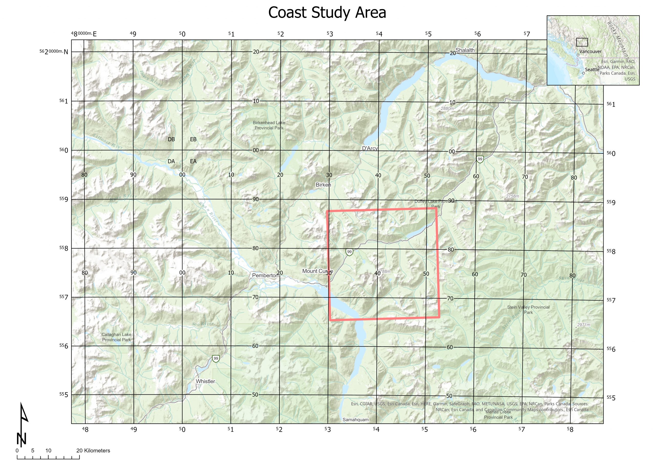
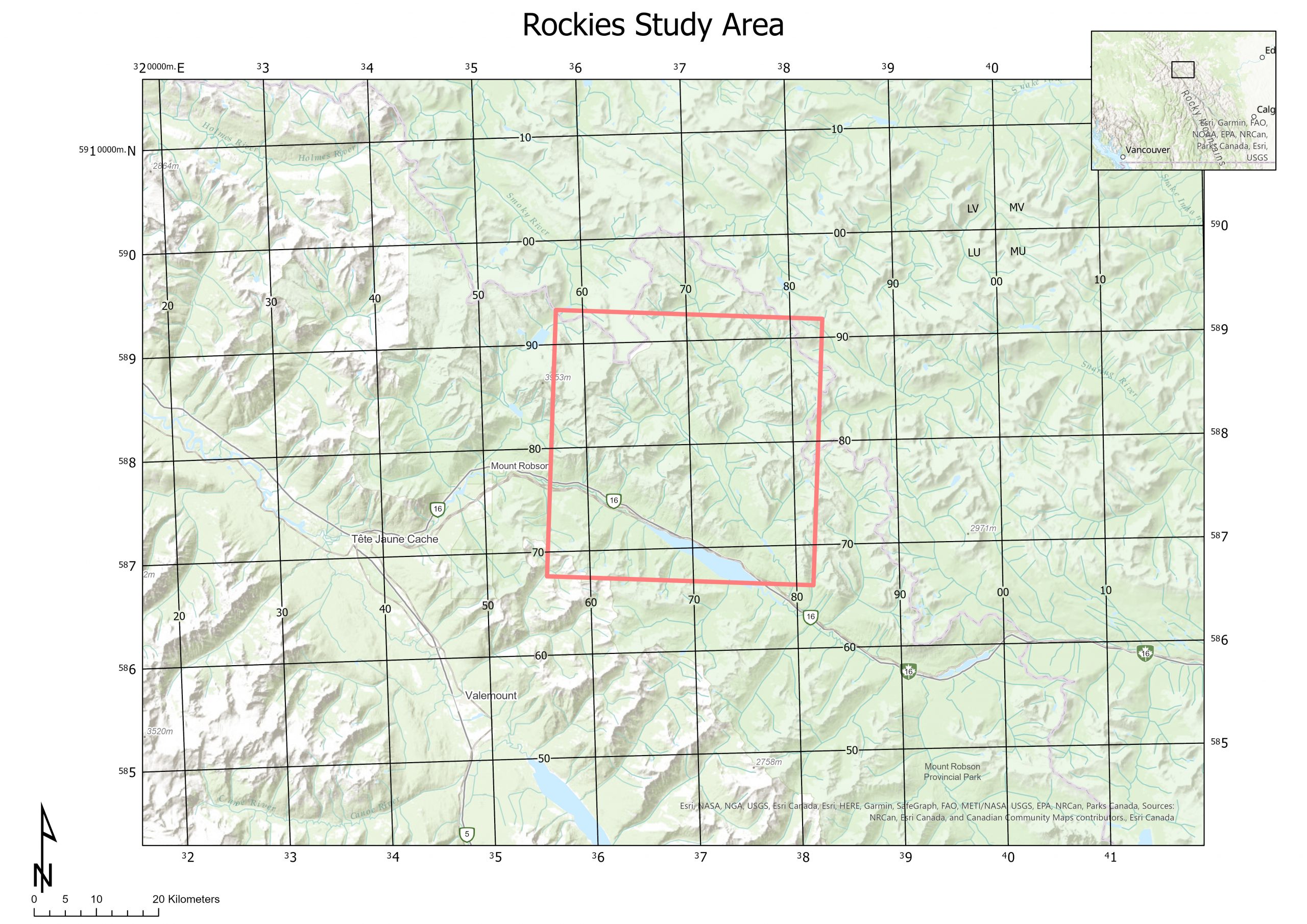
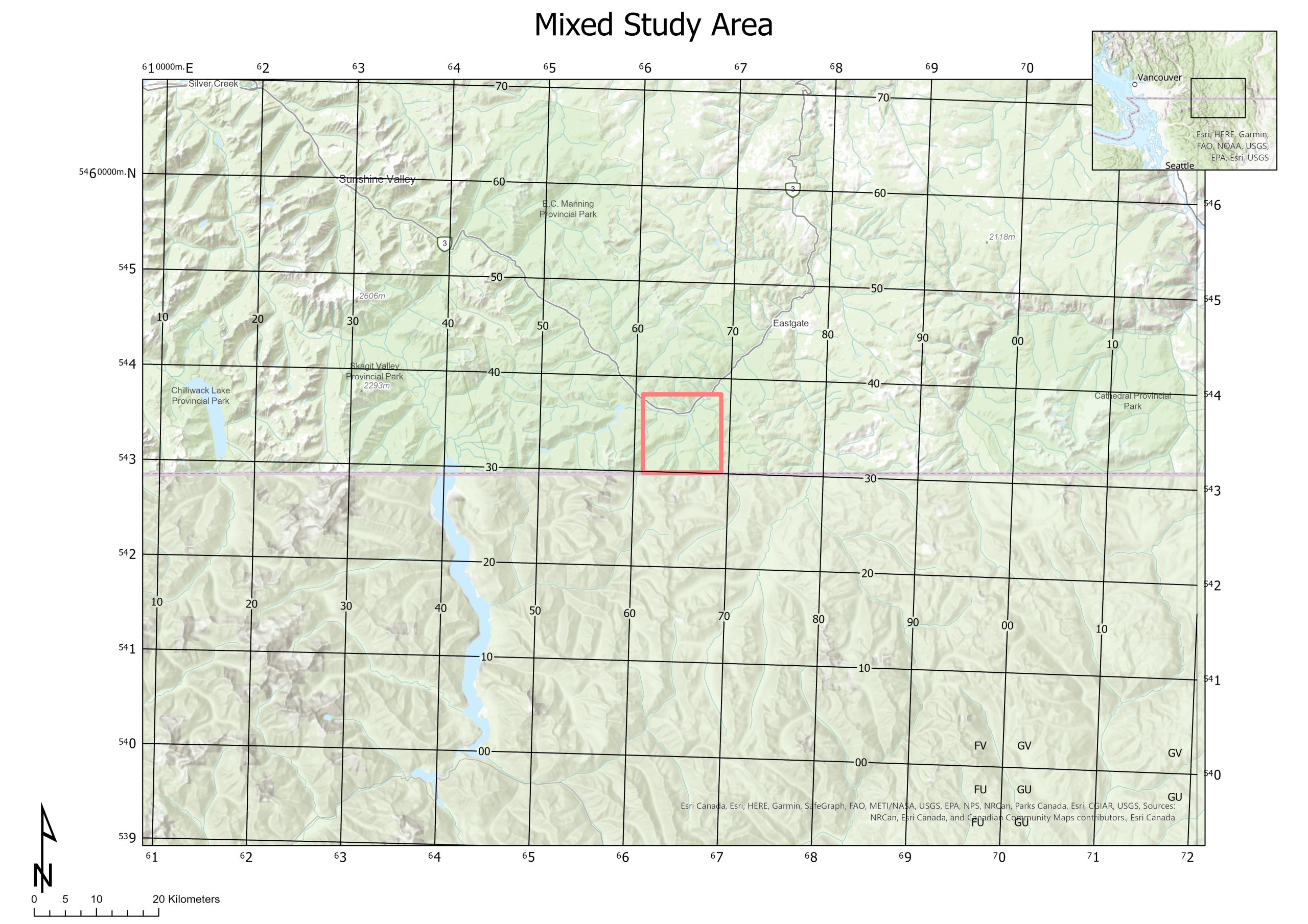
Within each study area, an avalanche hazard profile will be produced based on slope angle, aspect, curvature, and elevation. From the hazard profile, the least hazardous 25km will be identified. Within the region, a descent path will be drawn from the highest point to the nearest road. This is to identify the least hazardous path to ski within each study area.