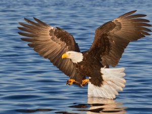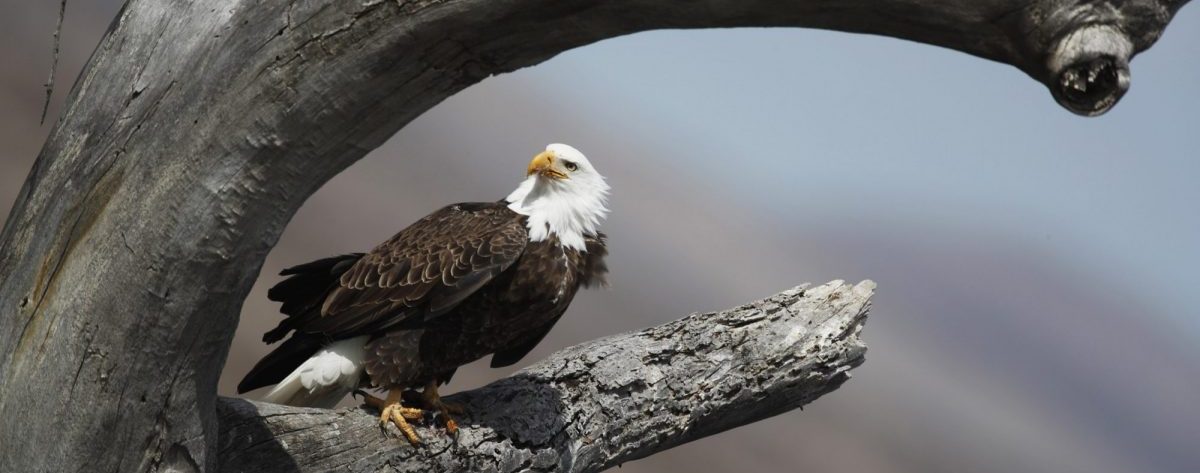
The Earth is a complete system with a balance of different aspects. However, human activities start to influence the environment since the Industrial Revolution. With new technology, life standard increased a lot, but we are generating more environmental issues at the same time. Human activities have significantly affected many animal habitats. Bald eagle Haliaeetus leucocephalus is typically found in North America. Its range includes most of Canada and Alaska, the United States, and northern Mexico. Bald eagles are not actually bald. The name comes from the older meaning of the word, which is white headed. Bald eagles often choose old-growth and mature coniferous or hardwood trees to build nests. As eagle populations expand beyond the typical habitats, there are fewer suitable nesting sites that bald eagle can choose. Therefore, nesting eagles currently are expanding into areas previously thought to be suboptimal, establishing nests more frequently near human activities (Mundahl & Anthony 2013).
Our project topic is mapping potential habitats for bald eagles in response to climate future in Vancouver Island. The motivation of our project is that given current situation of changes in climate, there are more potential threats to animal’s habitats. It can significantly affect the temperature, precipitation patterns, soil type and vegetation of a region. We would like to find whether changes in climate would affect bald eagles’ habitats in the future. The climate model being used for this project is the Representative Concentration Pathway (RCP). It is a greenhouse gas concentration trajectory (Vuuren et al 2011). Specifically, we are using RCP 4.5 and RCP 8.5 for this project. RCP 4.5 describes the situation where carbon dioxide (CO2) emissions would decline by 2045 and reach roughly half of the levels of 2050 by 2100. RCP 8.5 describes the worst-case climate change scenarios where emissions continue to rise throughout the 21st century (Vuuren et al 2011). We would first generate maps of Bald eagles’ normal habitats on Vancouver Island. We would then generate maps of Bald eagles’ potential habitats with consideration of climate factors. Sieve mapping and multi-criteria evaluation (MCE) would be used for generating the maps. We would compare the maps to see the impact of climate on Bald eagles’ habitats in BC.
Bald eagles primarily feed fish as their food, but when fish are not available, they will eat other food like aquatic birds and mammals. Thus, bald eagles prefer to live beside unfrozen water bodies like wetlands, lakes, rivers with lots of fish in winter. They also like regions that are not too dry in summer. For this project, the data that would be used is Digital Elevation Model (DEM), water, forest, cities, degree-days below 0°C (DD0), May to September precipitation (MSP), and mean coldest month temperature (MCMT). We have identified that bald eagle has been observed to prefer areas that are close to water body and forests, as well as other conditions like MSP is greater than 250mm, DD0 is smaller than 180 days, MCMT is greater than 0°C and elevation lower than 600m. We will produce a multi-criteria evaluation that highlights these potential habitats.