Acquired Data
| Data | Source | Description | Format | Image |
| BC Environmental Regions | BC Ministry of Environment and Climate Change Strategy – via DataBC | Contains the boundaries of BC’s 8 environmental administrative areas | Shapefile (polygon) | 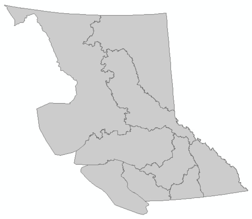 |
| Canadian Digital Elevation Model | Government of Canada Geospatial Data Extraction Tool | 20-meter resolution DEM, 3 sets had to be downloaded and mosaiced together | GeoTIFF | 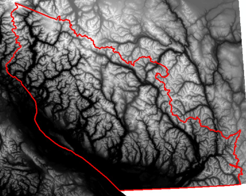 |
| Digital Road Atlas | Ministry of Forests, Lands, Natural Resource Operations and Rural Development – via DataBC | Partially attributed, publicly available portion of BCs digital road atlas, showing locations of provincial roads | Shapefile (line) | 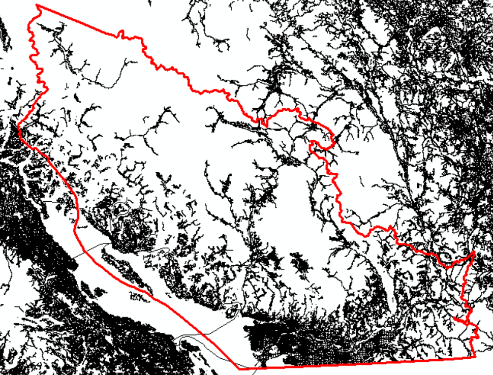 |
| Land Use 2010 | Agriculture and Agri-Food Canada | 30-meter resolution classification of Canada land use produced in 2010 | GeoTIFF | 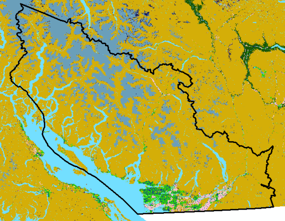 |
| BC Snow Survey Sites | BC River Forecast Centre | Spatial locations of all snow survey sites in BC, file was converted to KML and then file geodatabase feature class and the 65 automated snow weather station points were extracted for analysis | KMZ (point) | 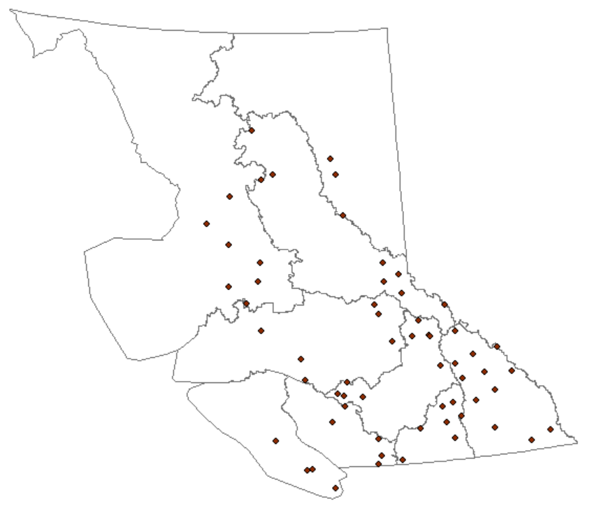 |
| Raw Automated Snow Weather Station data | BC River Forecast Centre | Five year hourly raw data from October 1, 2011 to September 30, 2016 of raw snow water equivalent (amount of water contained within snowpack) at automated stations. Tabular attribute data was joined to shapefile for analysis | CSV | Non-spatial data |
Derived Data
| Data | Derived From | Description | Format | Image |
| Slope | Digital Elevation Model | Generated from DEM using the ‘Slope’ tool in ArcMap, determines steepness information for each cell in degrees (0 to 90) | File GDB raster dataset | 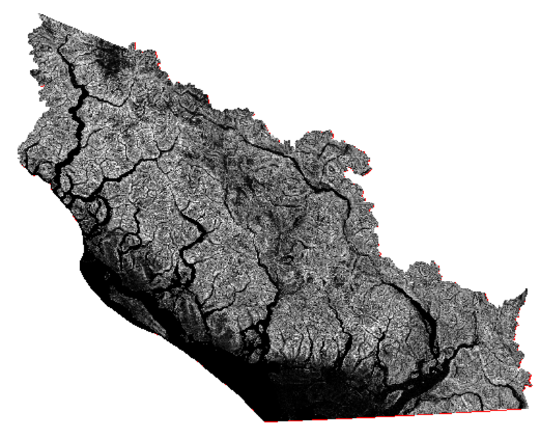 |
| Aspect | Digital Elevation Model | Generated from DEM using the ‘Aspect’ tool in ArcMap, indicates direction that slopes are facing | File GDB raster dataset | 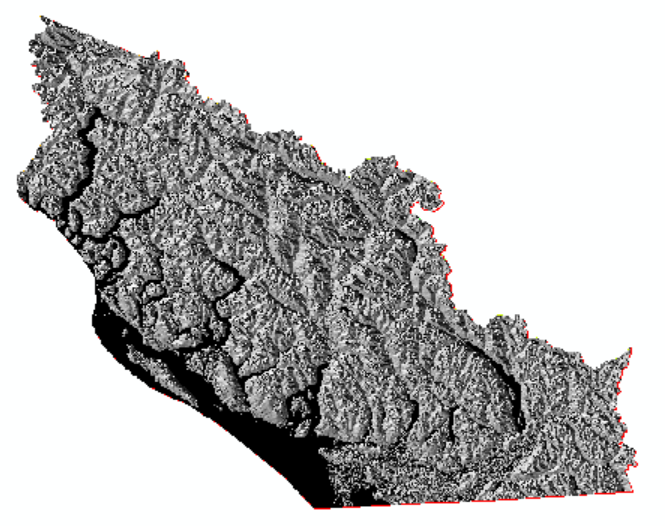 |
| Snow Trend Surface | Snow Survey Sites and Weather Data | Generated from the spatial snow station location data and the tabular snow water equivalent data, using the ‘Trend’ tool in ArcMap. Trend is a simple, rough spatial interpolation tool used due to the low density of stations throughout the province | File GDB raster dataset | 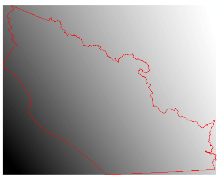 |