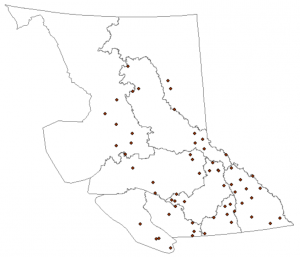
Acquired Data
Derived Data
| Data |
Derived From |
Description |
Format |
Image |
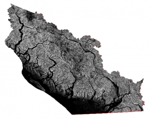
| Slope |
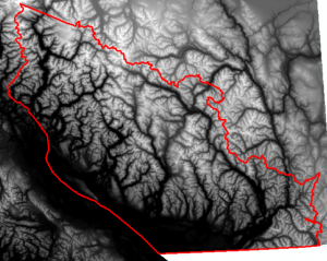
Digital Elevation Model |
Generated from DEM using the ‘Slope’ tool in ArcMap, determines steepness information for each cell in degrees (0 to 90) |
File GDB raster dataset |
 |
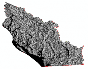
| Aspect |
Digital Elevation Model |
Generated from DEM using the ‘Aspect’ tool in ArcMap, indicates direction that slopes are facing |
File GDB raster dataset |
 |
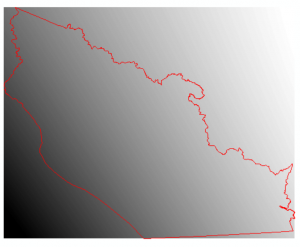
| Snow Trend Surface |
Snow Survey Sites and Weather Data |
Generated from the spatial snow station location data and the tabular snow water equivalent data, using the ‘Trend’ tool in ArcMap. Trend is a simple, rough spatial interpolation tool used due to the low density of stations throughout the province |
File GDB raster dataset |
 |
