British Columbia is a region renowned for its skiing and snowboarding opportunities. Whether you prefer huge alpine resorts such as Whistler-Blackcomb, mountains just outside Vancouver like Seymour and Grouse, or backcountry destinations, this province has something for everyone who loves the sport. Currently, there are nearly forty operational ski resorts spread across BC. Ranges such as the Canadian Rockies, Coast Mountains, and Columbia Mountains that cover much of BC provide the ideal physical setting for skiing and resort construction.
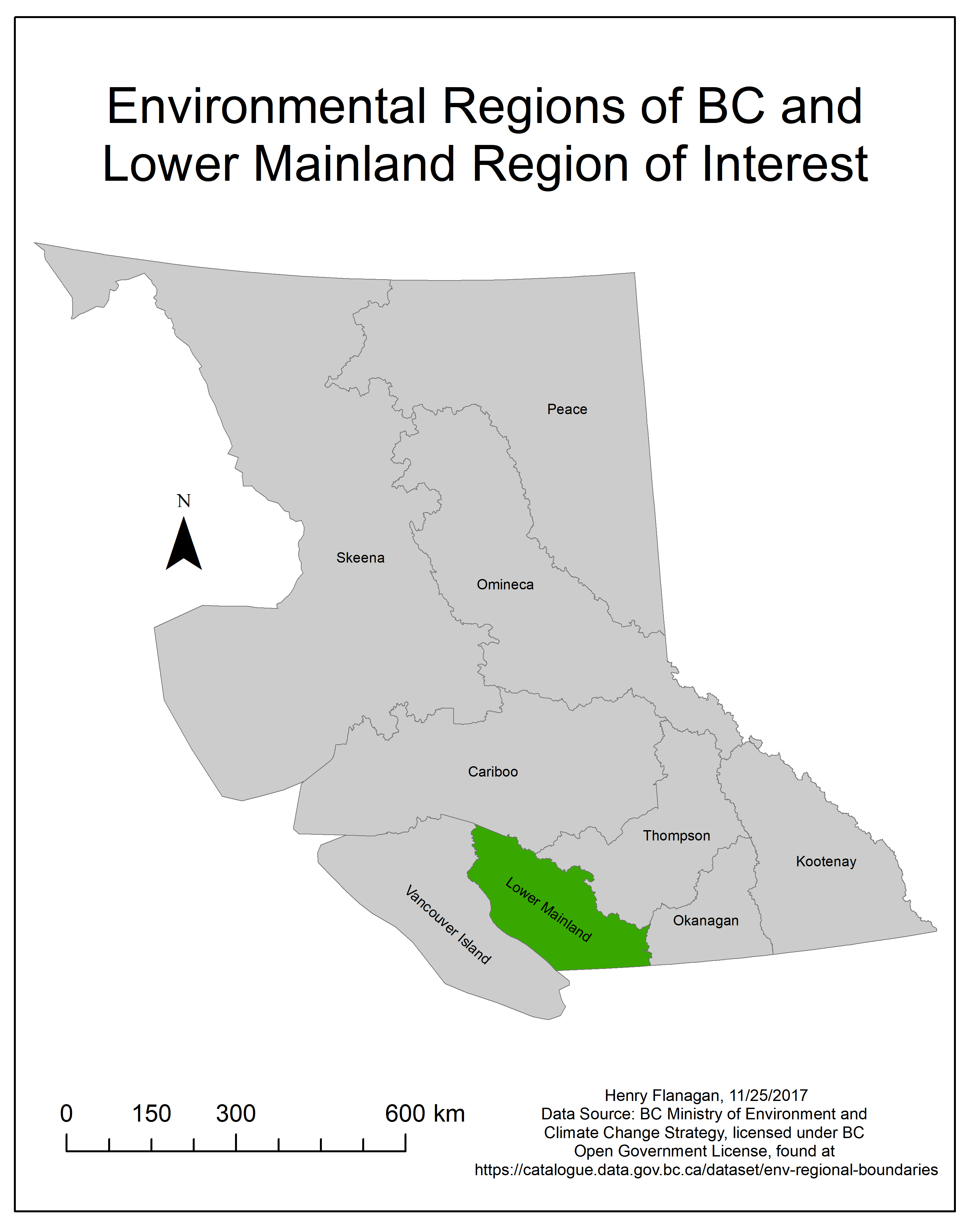
Figure 1
This project was inspired by my interest in studying the unique terrain of BC’s mountainous regions, along with my interest in snowboarding. My central question in this project was: Where would be the best places to build around BC’s Lower Mainland region? To answer this question, I performed a capability and suitability analysis to identify the slopes of BC that were able and well suited to supporting skiing and snowboarding. This project primarily focuses on finding areas that could support skiing physically and functionally (e.g. based on slope, land use, snowfall, etc.), and does not consider economic or other factors.
I identified the lower mainland region as the area of interest in BC for several reasons. One was that a majority of the provincial population is concentrated in this region, so placing a hypothetical ski resort here would give more people access than if it were located in more remote areas of the provinces. The large area of British Columbia (over 940,000 square kilometers) also lead to data acquisition and processing concerns if the entire province were analyzed. The lower mainland region also is largely covered by mountains, making it a suitable region for identifying potential ski slopes.
To define boundaries for the study region I used the Environmental Regions dataset provided by the BC Ministry of Environment and Climate Change Strategy. There are eight of these regions throughout the province, which are defined as “administrative area[s]” that are “used to manage regional activities”. I used the Lower Mainland region (Figure 1) as defined in this dataset as my study area. This region as defined by the Ministry contains around 60% of the provincial population and has considerable mountain coverage, making it very suitable for my analysis.