Part I. Intersection Analysis
To increase the power of this model in determining dangerous intersections for commuter cyclists, additional data could be incorporated that have been recognized as factors in cycling accidents. These include time-of-day data for incidents, the speed limits of roadway segments leading up to the intersection, and even the elevation/slopes of roadway/bikeway segments leading to the intersection. Considerations of already present infrastructure and the potential effects of specific new infrastructure can also affect how we analyze safety within intersections. Indirect programs including the management of traffic volumes and flow patterns, implementing restrictions on left turns during certain periods, and specialized traffic signals for bicycles, are just few of the interventions that can be studied and implemented to improve commuter cyclist safety at intersections.
Part II. Route Analysis
To increase the power of this model in determining suitable expansion locations for AAA Bikeways, mandates and collaborative programming would be important in determining how to best further research and locate suitable AAA Bikeways. The City of Vancouver has a lower share of students (within Grades 4-7) that receive cycling skills training in schools compared to other municipalities in the region (Hub Cycling, 2019). Programming coordination such as increasing bike education programs (which is another factor in increasing cycling scope and connectivity through development of skills, as per Lowry & Hadden-Loh, 2017) can help make weighting the importance of schools versus workplace commuting in MCEs more focused, as well as understand whether or not other criteria can be utilized. Other finer details to improve accessibility and connectivity, including investigating the specific bike facilities already present on bikeways, and how they affect commuters can be performed through observational studies, case studies from other jurisdictions, surveys of cycle-commuters or even an expansion of the first part of this project (with an eye towards the effects of facilities on safety throughout the network).
For both Parts I and II, population data (i.e. the results of a more up-to-date census), is expected to become available starting in 2022. This dataset will greatly assist in determining population shifts and growth over time, as well as geographical trends in cycling and other forms of transportation. Incorporating this information within a research model that predicts the best locations for the expansion of bike facilities and infrastructure, as well as potential improvements for increasing safety, may greatly help decision making and introduce new avenues of research.

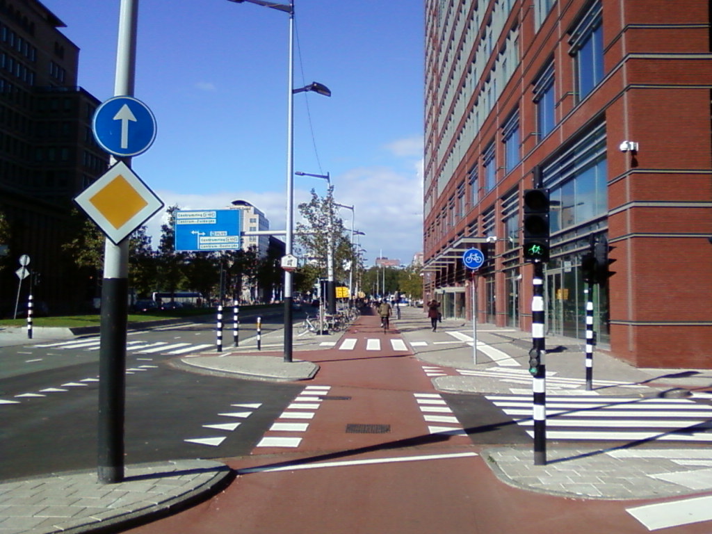
Photo by W.-D. Haberland via Wikimedia Commons
