Banerjee, S., Muhib Kabir, Md., Khadem, N.K., & Chavis, C. (2020). Optimal locations for bikeshare stations: A new GIS based spatial approach. Transportation Research Interdisciplinary Perspectives, 4, 1-11. https://doi.org/10.1016/j.trip.2020.100101
Branion-Calles, M, Nelson, T. & Winters, M. (2017). Comparing Crowdsourced Near-Miss and Collision Cycling Data and Official Bike Safety Reporting. Transportation Research Record Journal of the Transportation Research Board, 2662(1), 1-11. http://dx.doi.org/10.3141/2662-01
City of Vancouver. (2017). Transportation Design Guidelines. https://vancouver.ca/files/cov/design-guidelines-for-all-ages-and-abilities-cycling-routes.pdf
City of Vancouver. (n.d.). 5-Year Cycling Network: Additions & Upgrades 2018-2022. https://vancouver.ca/files/cov/5-year-cycling-network-map-additions-and-upgrades-2018-to-2022.pdf
Columbia University: Mailman School of Public Health. (n.d.). Hot Spot Spatial Analysis. https://www.publichealth.columbia.edu/research/population-health-methods/hot-spot-spatial-analysis
ESRI. (2021a). Optimized Hot Spot Analysis (Spatial Statistics). ArcGIS Pro: Tool Reference. https://pro.arcgis.com/en/pro-app/2.8/tool-reference/spatial-statistics/optimized-hot-spot-analysis.htm
ESRI. (2021b). Optimized Outlier Analysis (Spatial Statistics). ArcGIS Pro: Tool Reference. https://pro.arcgis.com/en/pro-app/2.8/tool-reference/spatial-statistics/optimizedoutlieranalysis.htm
HUB Cycling. (2019). Benchmarking the State of Cycling in Metro Vancouver. https://hub-intellectsolutio.netdna-ssl.com/sites/default/files/hubtl-cyclingreport-2020-02-27_v5.pdf
Larsen, J. Patterson, Z. & El-Geneidy, A. (2013). Build it. But where? The use of geographic information systems in identifying locations for new cycling infrastructure. International Journal of Sustainable Transportation, 7(4), 299-317. https://doi.org/10.1080/15568318.2011.631098
Lowry, M., Furth, P., & Hadden-Loh, T. (2016). Prioritizing new bicycle facilities to improve low-stress network connectivity. Transportation Research Part A, 86, 124-140. http://dx.doi.org/10.1016/j.tra.2016.02.003
Lowry, M., & Hadden-Loh, T. (2017). Quantifying bicycle network connectivity. Preventative Medicine, 95, S134-S140. https://doi.org/10.1016/j.ypmed.2016.12.007
National Association of City Transportation Officials [NACTO]. (2017). Designing for All Ages & Abilities: Contextual Guidance for High-Comfort Bicycle Facilities. https://nacto.org/wp-content/uploads/2017/12/NACTO_Designing-for-All-Ages-Abilities.pdf
Satria, R., & Castro, M. (2016). GIS Tools for Analyzing Accidents and Road Design. Transportation Research Procedia, 18, 242-247. https://doi.org/10.1016/j.trpro.2016.12.033
von Bergmann, J. (2018, June 4). Vancouver Streets and Lanes: How Much Space is Taken up by Roads Right-of-Ways? Mountain Doodles. https://doodles.mountainmath.ca/blog/2018/06/04/vancouver-streets-and-lanes/
—————————————————————————-
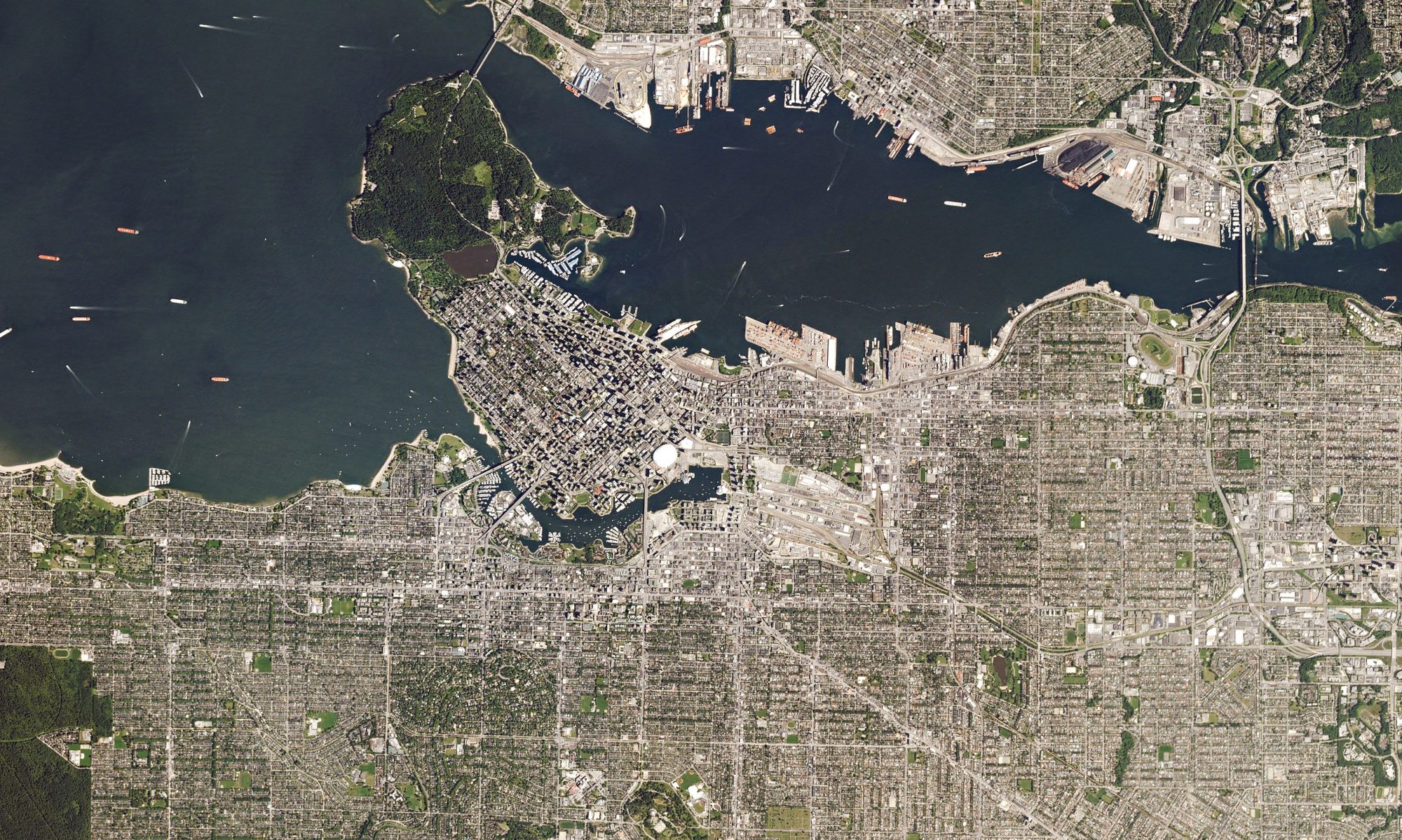
Cover image: Vancouver, Canada by Planet Labs. CC BY-SA 4.0
