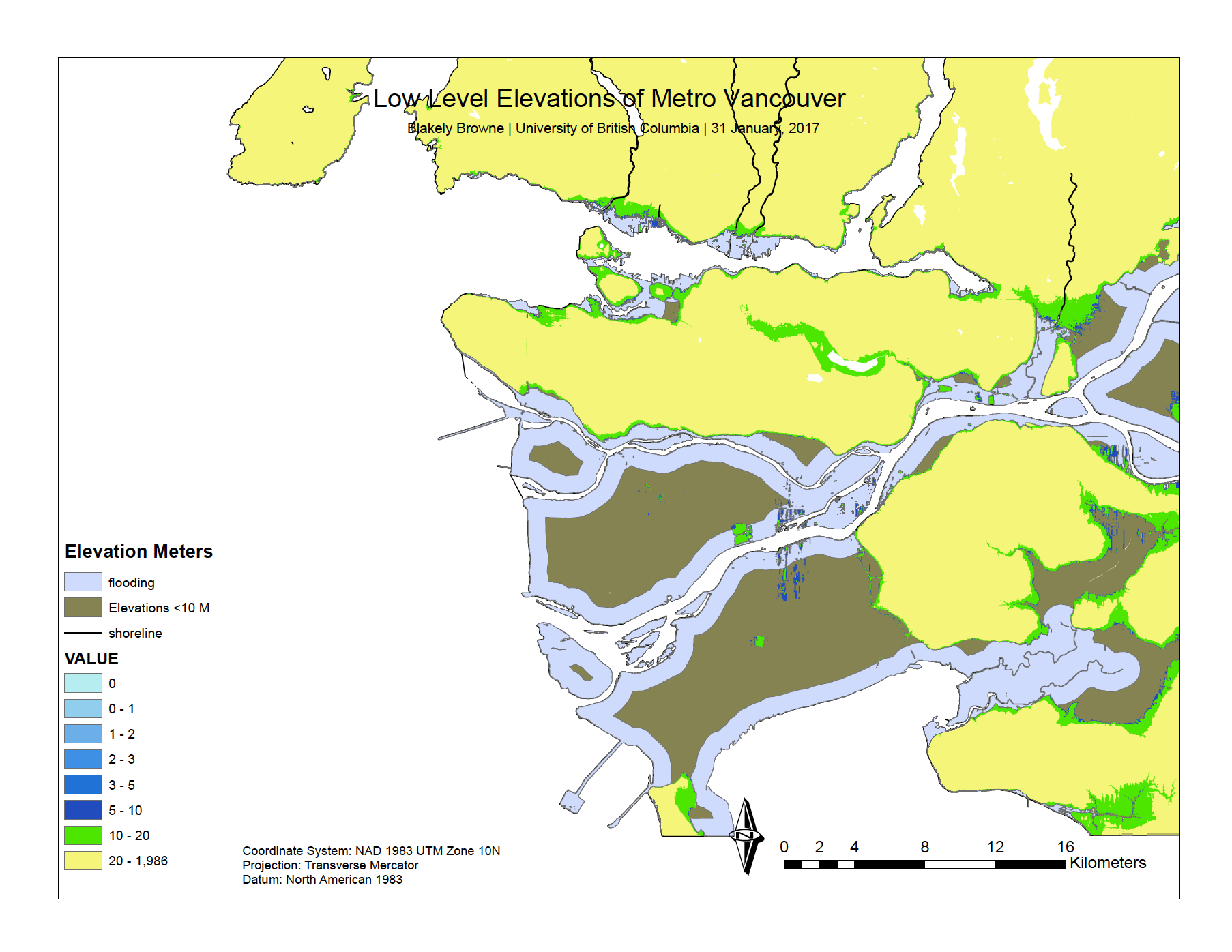
These maps display an analysis I did detailing areas of high flood-risk in Vancouver.
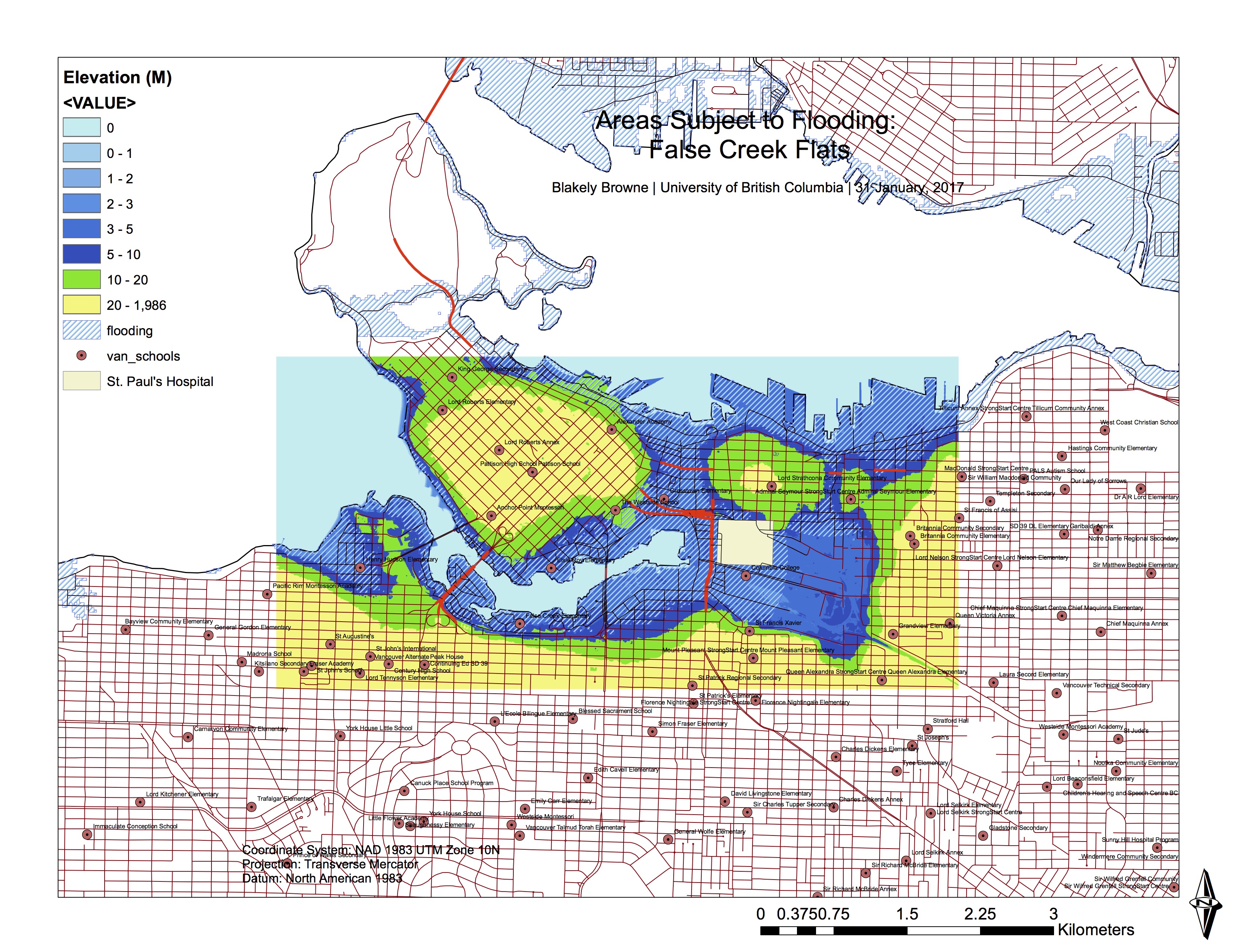
This map displays flood-sensitive areas in False Creek, as well as schools located within these flood areas.
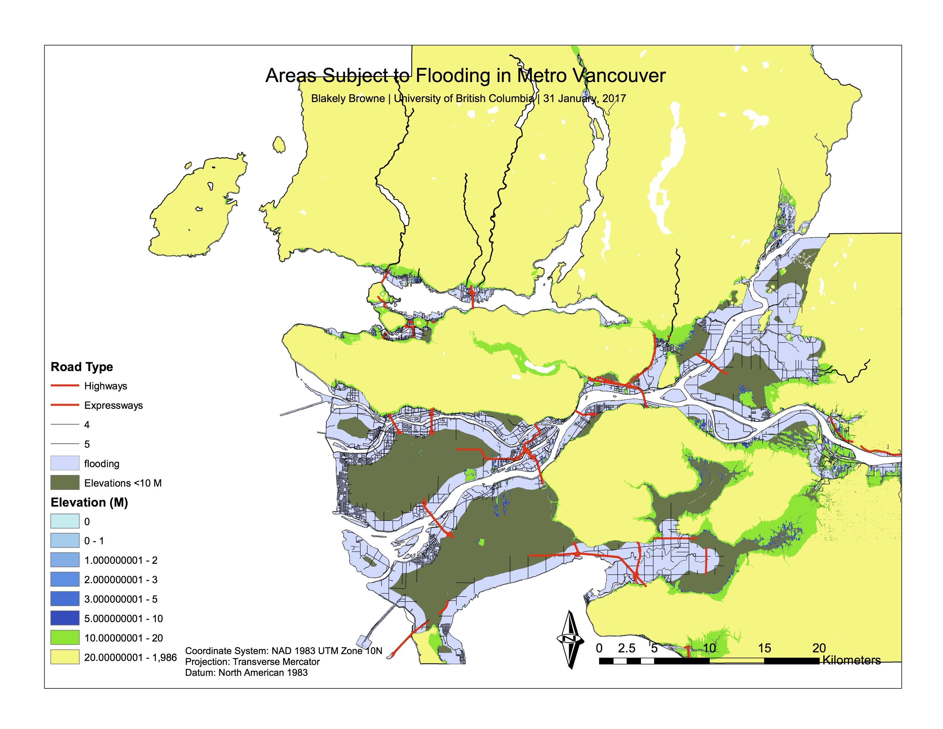
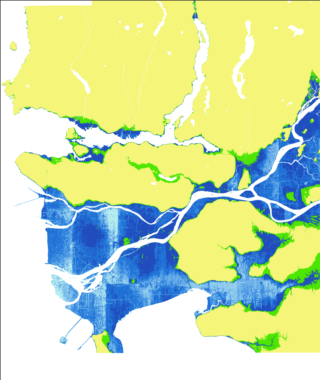
This map was an earlier rendition, prior to labelling and producing the final version.
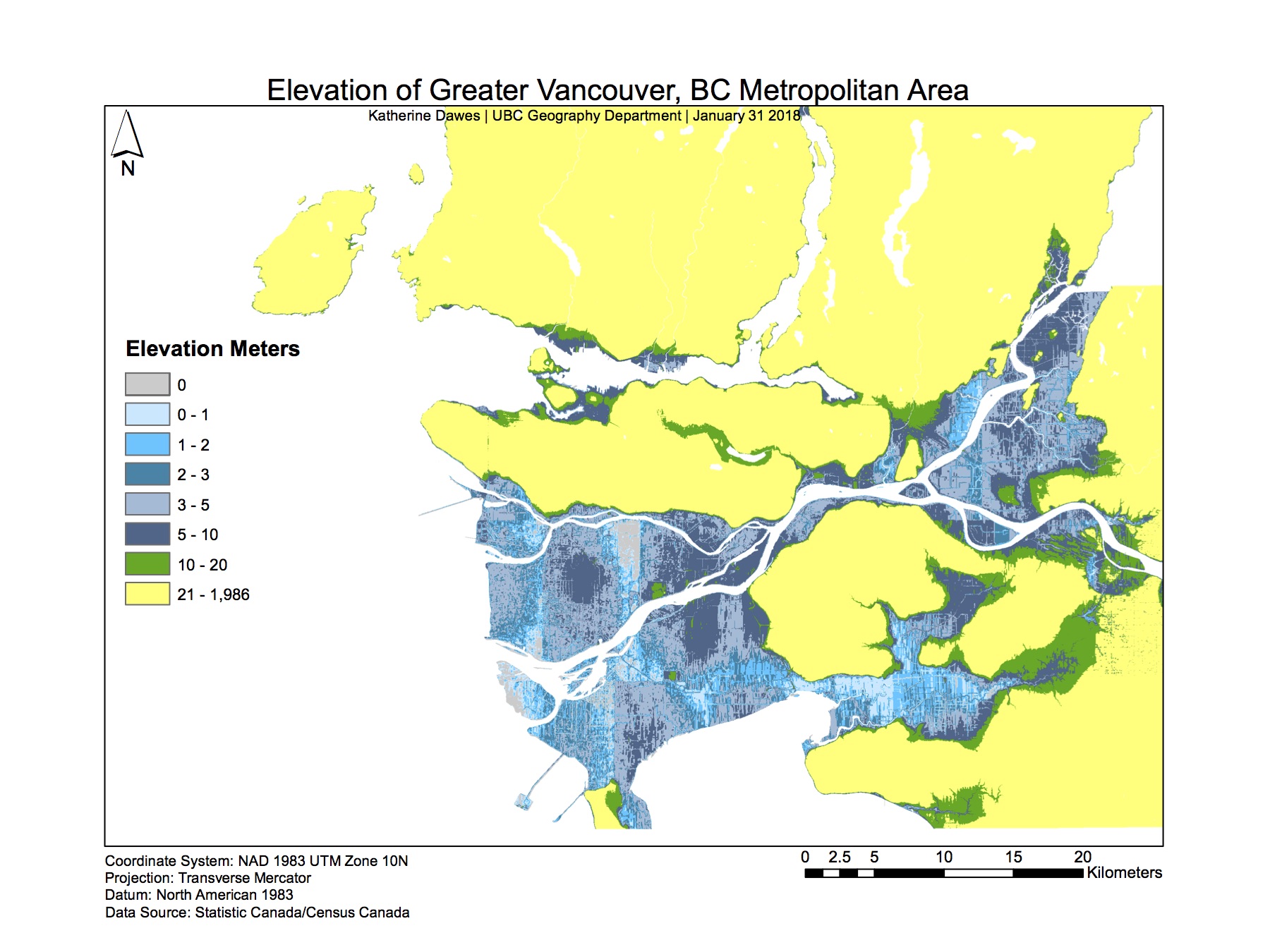
Within this lab, I improved my geospatial analysis skills in ArcGIS by analyzing the ways in which a natural disaster could effect a cityscape, through the utilization of various tools such as buffers and selections (and the subsequent categorization of these selections).