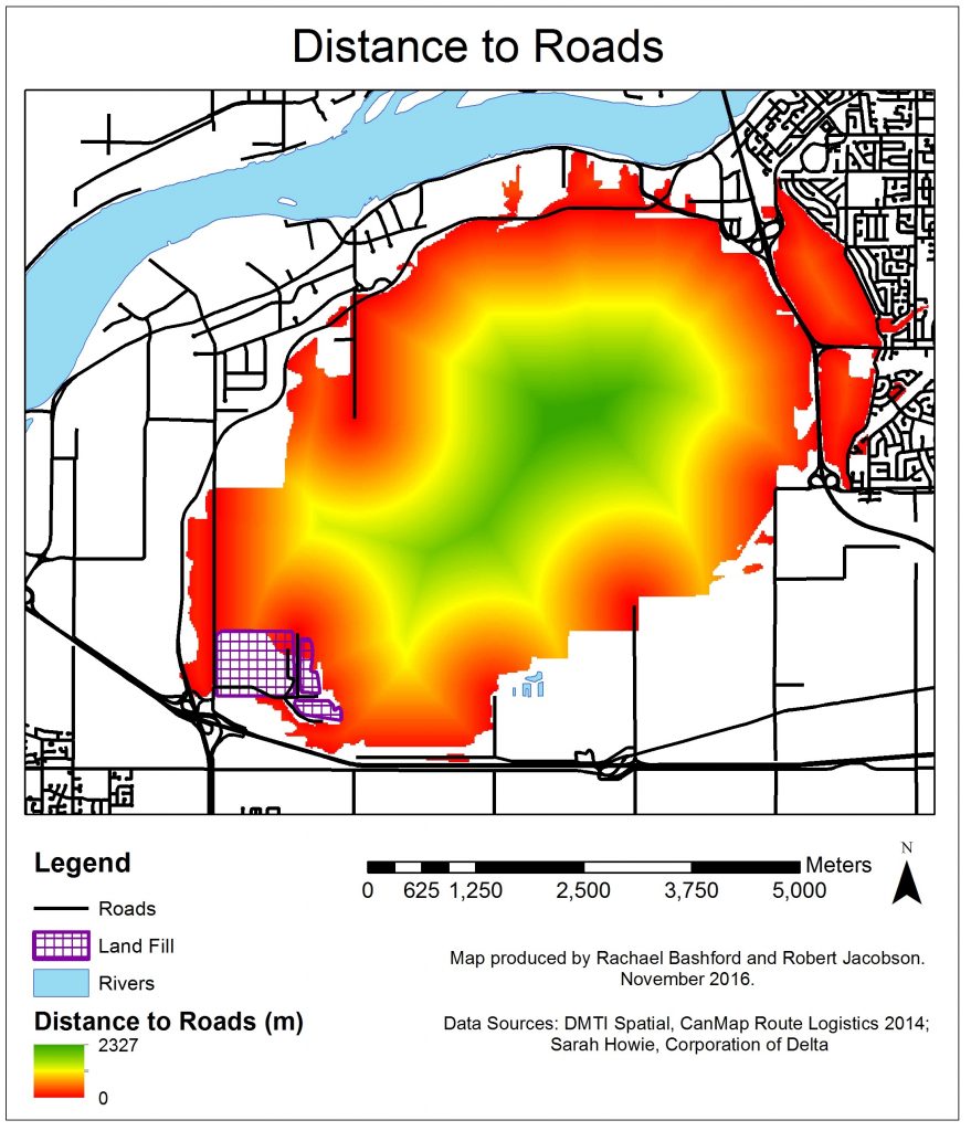
The distance to roads layer was calculated using the ‘Euclidean Distance’ tool which produces a raster indicating the distance to the nearest road for each pixel. This is shown in figure 4. The raster layer was then normalized using the ‘Fuzzy Membership’ tool assigning values of (1) to the pixels nearest to the roads and values of (0) to the pixels furthest away from the roads.