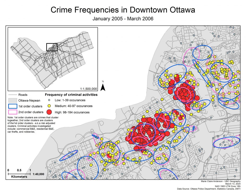
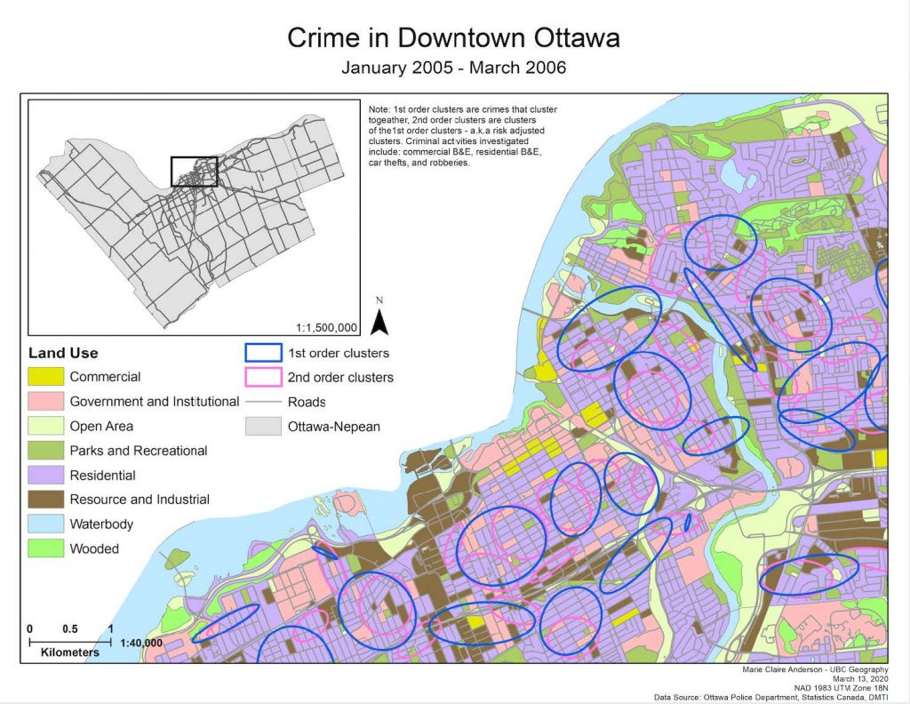
This lab investigated the spatial distributions of crimes in Ottawa, ON between January 2005 and March 2006. Data was obtained from the Ottawa Police Department, Statistics Canada, and DMTI.
Using CrimeStat a series of analyses were preformed (Knox Index, Moran’s I, Kernel density estimation, Fuzzy mode, and NNH spatial clustering)


Results indicated:
- As distance increases, spatial autocorrelation decreases
- High clustering of break and enter residential crimes, but they follow the same pattern of increased distance creating decreased spatial autocorrelation
- High frequencies of residential B&E’s in Ottawa’s downtown core
- High time-space clustering of car thefts
See full report here: lab3_26633157