Projection Systems and Misaligned Data
When projecting a map onto a coordinate system, aspects such as areas, angles, distance and direction are distorted. Therefore, when mixing two layers with different coordinate systems it is normal for these two to appear misaligned. ArcGIS offers different ways to solve this. Through a command called ‘Projecting-on-the-fly’, the appearances of the two layers are changed so that they appear to look aligned. However, the actual coordinates of the layers remain unchanged. Through a different command called ‘Project/Transformation’, a new layer with a new coordinate system is created, thus eliminating the misalignment problem. Both of these commands can be quite useful under different circumstances. As its name suggests, the ‘Project-on-the-fly’ command is more appropriate when appearance is the main concern and no further geographical analysis will take place. However, if you are planning on modifying the layer or performing deeper analysis, a transformation of coordinate systems would be essential.
Remote Sensing LandSat Data
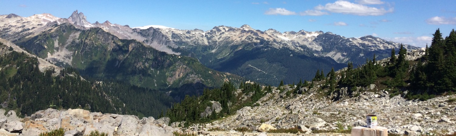
LandSat is a remote sensing data that is constantly scanning the Earth by using sunlight as its energy source. It records data by determining different wavelengths, creating an enormous database that can be used in a variety of applications. By constantly (it re-scans a piece of land every 16 days) providing digital data of the earth’s surface, it has proved essential in geographical resource analysis, especially relating to water, vegetation and soil. By automating the data collection process, it has saved professionals huge amounts of time (think about ecologists who spend months estimating vegetative covers of a piece of land!) that can now be spent analyzing and acting upon new discoveries.
Accomplishment Statements:
- Used data with different projection systems to learn how to manage and change projections as well as understand their various effects on geometric properties.
- Worked with remote sensing imagery in order to understand how it collects data and create a map that compared vegetative cover in the same region at two different points in time.