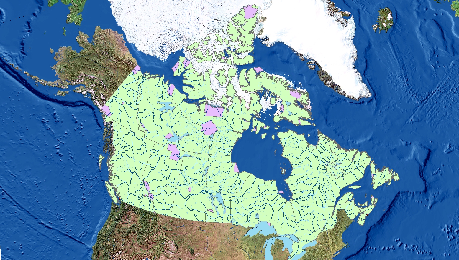
Fig 1. Coordinate System: Canada Lambert Conformal Conic. Projected layers: Canadian national parks and rivers. Cities: Vancouver and Halifax
ArcMaps does this nifty thing called Projection-on-the-Fly, which allows users to combine layers set to different coordinate systems and still have them align with each other. It is useful in some cases, but it does not always work. Sometimes, you my find that your map layers do not line up. Not to worry, the solution may be as simple as incorrect coordinate systems. Maps that are used in layering may be set in different coordinate systems (also known as spacial referencing) which results in a mismatch of layers.
To fix improperly referenced spatial data, right click on the lowest layer of your map (this is the last on your list in the Table of Contents) and look at the properties > source > spatial referencing. Check what coordinate system (spatial referencing) this layer is on. Then, right click on Layers (this this is the first item on your Table of Content list) go to properties > coordinate system > layers > (pick the one that matches the coordinate system you previously checked for). Now that your map is all on the same coordinate system, everything should hopefully line up nicely.
Discrepancies in location and scale lead to misaligned layers. To fix this, launch the properties of the layer in the Catalog tab. Find XY coordinate system > geographic coordinate systems. Now, make sure to select the the coordinate system that fits the original information.
Let’s go one step further. Say you want to project a layer for spatial analysis. Projecting a layer modifies the coordinate data and creates a new version of the data layer with a different coordinate system. This means that you must use a special tool in ArcCatalog to perform the transformation. Dock ArcToolbox on the right side panel. In ArcToolbox, find Data Management Tools > Projections and Transformations > Project. Make a new layer, which will appear in your ArcCatalog. Drag this to your Table of Contents and add it as a new layer to your map.
Ensuring that all the data lines up is crucial for accuracy in mapping. This may not be a bid deal in small scale mapping, but for large scale maps, inaccuracy can lead to major issues. Imagine trying to go hiking with a map that is 400 km off!
Recap of learning: I learned not only how to change the coordinate system of a map but also the misinterpretation that wrong projections can cause. I’ve begun to figure out which projections work best for which maps and in doing this, learned how to determine if map projections are skewing data.