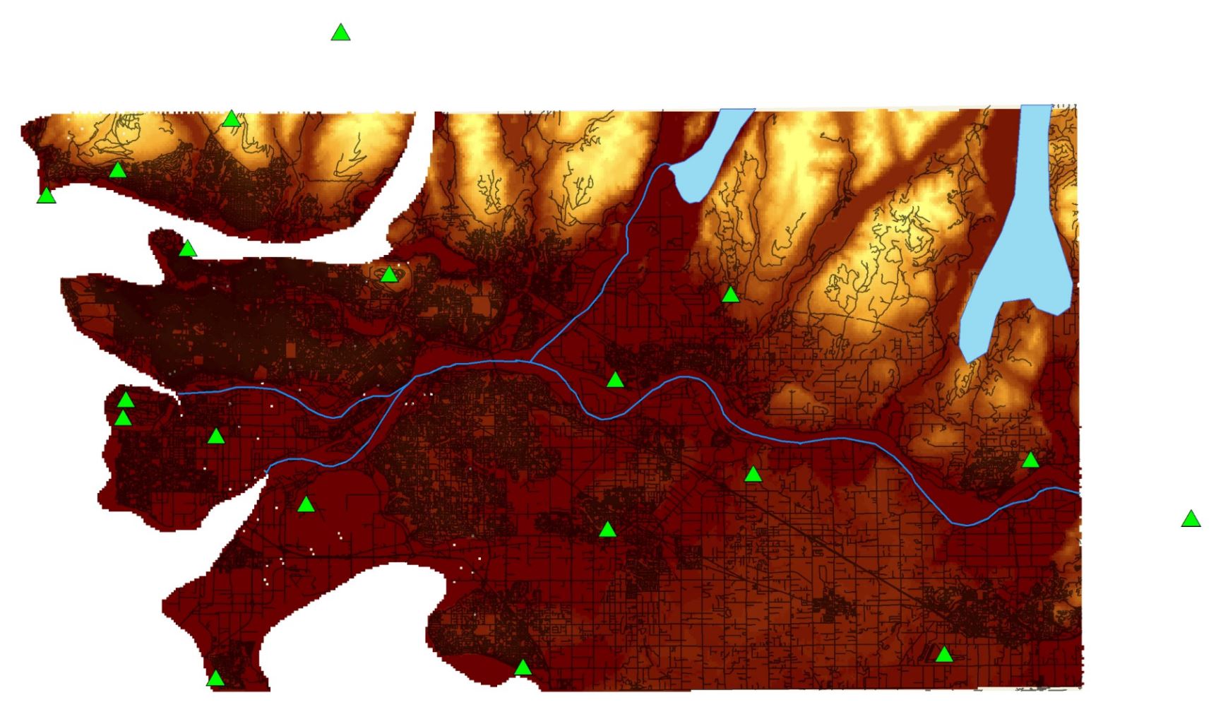
Figure 1. Project Boundary map showing climate station in green triangles
This project will evaluate the accuracy of three interpolation methods (Kriging, Cokriging and Inverse Distance Weighted) in predicting monthly mean air temperature using historical Environment Canada Climate Station data.
The study area will focus on south-western BC ranging from Vancouver to Mission. The original study area was the entire province of BC. However, the DEM associated would require too much computing power to be reasonable on a MacBook. This specific area is selected because of two reasons. Reason one is that the population density is highest in this region which means the final result map would be more relevant to the audience. The second reason because there is a higher number of climate station located in this region (total of 19 locations) than anywhere else in the province, providing more data points which improve the interpolation result.
A reference data set is needed to evaluate the accuracy of each method. The reference data for this project was obtained from ClimateBC, a program that generates high-resolution climate data based on latitude, longitude, and elevation.
The most recent year available in ClimateBC is 2015 hence the project will obtain all monthly temperature mean data from July 2015. The month of July is chosen to simplify the adiabatic lapse rate conversion since the lapse rate constant for a parcel of dry air is relatively constant at around 9.8 °C /km. Whereas the lapse rate constant for a parcel of humid air varies from 4 °C /km to 9.8 °C /km depending on its moisture content.
