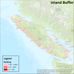
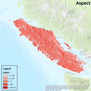
The physical sub-index was constructed using an arithmetic sum and normalization of ranked criteria (elevation, aspect, solid geology, distance inland). The rasters generated with a ranked classification system are given below for each variable.
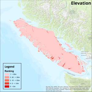
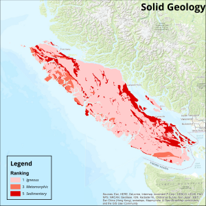
The areas under the greatest risk of sea-level rise from this sub-index appeared to be the low-elevation coasts and islands bordering the Strait of Georgia, particularly where sedimentary bedrock was predominant. River mouths (Campbell River) and bays (Cowichan Bay) appeared to be especially susceptible. Specific communities on the east coast of Vancouver Island at risk include Campbell River, Duncan, Nanaimo etc. The Gulf Islands in the Strait of Georgia had a moderate to severe risk under the generated sub-index.
The metamorphic and igneous character of the rest of coastal Vancouver Island likely contributed to its lowered susceptibility. Of the areas along the west coast of Vancouver Island, the regions surrounding Port Alberni and Port Renfrew appear to be the most at risk.
A map of the physical sub-index values is shown below. After normalization of the index to a scale of 0-100, the sub-index values were reclassified into 5 ranks, which are defined as:
- Rank 1: 0 – <20, Very Low Risk
- Rank 2: 20 – <40, Low Risk
- Rank 3: 40 – <60, Moderate Risk
- Rank 4: 60 – <80, High Risk
- Rank 5: 80 – 100, Very High Risk