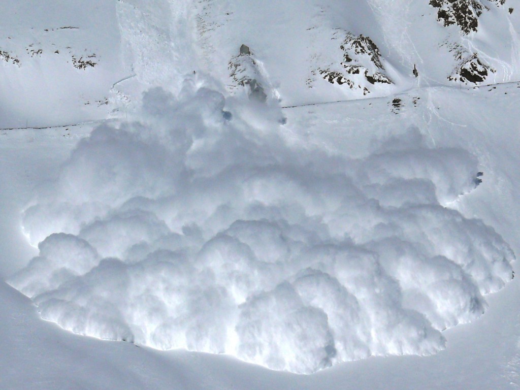
Backcountry winter recreation can be immensely thrilling and rewarding. For me, skiing untouched powder in a remote alpine bowl dissolves the rest of the world. At that moment I am only aware of the terrestrial setting and the immediate company, a peaceful combination. It does not come without risk however. Avalanche hazard can exist on suspiciously benign slopes and linger long after recent snow storms and wind events. The Canadian Avalanche Center and ski patrollers at Whistler Blackcomb do a fantastic job at assessing hazard on a regional basis so that backcountry enthusiasts can choose whether or not to expose themselves. With a finite resource of avalanche professionals, hazard forecasts are made for broad reaching areas. Within these areas temperatures fluctuate, wind changes and different amounts of precipitation may fall as either snow or rain. An even greater variability exists as part of the land surface itself. Even during high avalanche danger not every slope is avalanche prone. A specific combination of terrain, weather and resulting snowpack is necessary to define the threat and something of value must be present to incur damage for a risk to exist. It is the intention of the author to present the first steps in the development of a dynamic avalanche forecasting model. It is a tool written in Python and run in ArcGIS that at this point combines accurate terrain data with up to date weather information to give an understanding of variability in avalanche hazard both spatially and temporally. It is far from complete, but serves as a starting point for more robust models to be built.

