
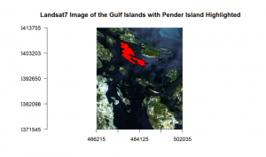
Example 1. Image Analysis using R:
I am familiar with basic image processing in R including reading images and plotting.
Focus has been on efficiency and automated processes.
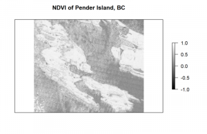
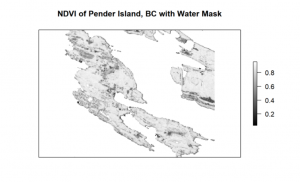
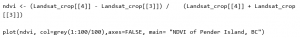
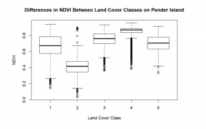
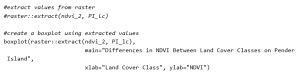
Practice with extracting values from rasters and calculating indices (ex.NDVI).
R script developed:
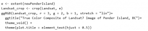
R script developed:
![]()
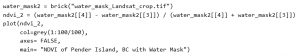
R script developed:
![]()
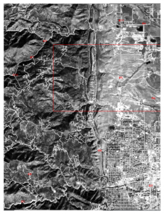
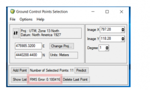
Example 2. Georectification of Spot Images in ENVI:
I have experience georeferencing images and maps in ENVI using GCP’s and RMSE.
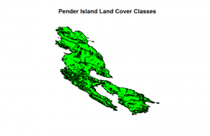
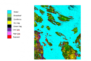
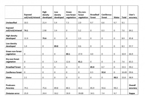
Example 3. Supervised Classification in ENVI:
I am familiar with landcover classification techniques and have experience with classifying satellite images in ENVI by defining training and validation data.
Experience with generating and interpret confusion matrices.
In relation to remote sensing I am familiar with the following:
- ENVI
- ENVI Classic
- Fusion
- R packages for processing raster and vector data
- UAV’s