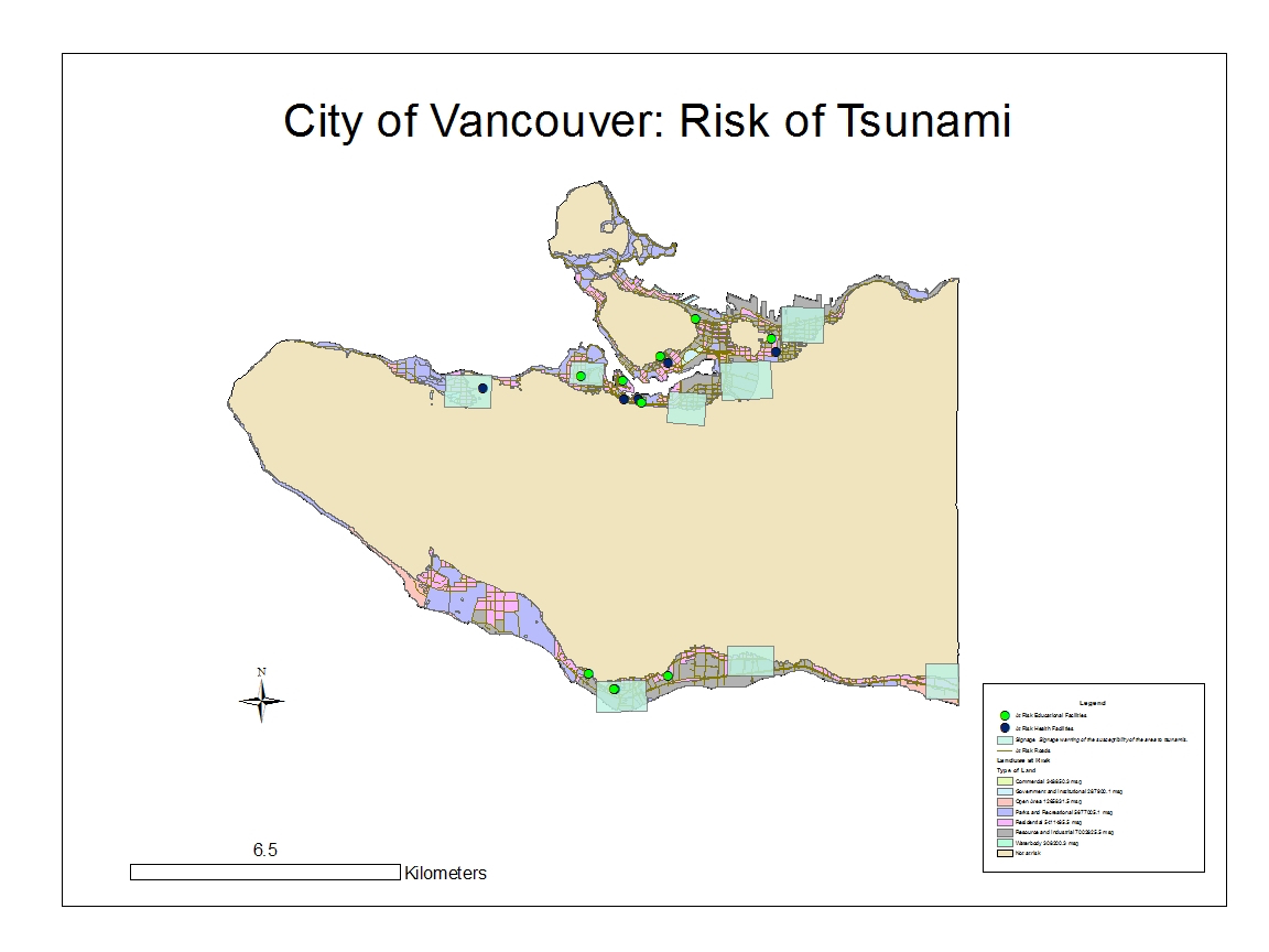
This GIS analysis looks at the risk of Tsunami in Vancouver, and identifies key features that are in danger if a Tsunami were to occur.

Project Notes
- 15.5% of the total area of Vancouver is under danger of a Tsunami. This was calculated by dividing the total land use of Vancouver by the land use in Vancouver that is in danger.
- To find the locations that are under danger, I used the “select by location tool” in ArcGis. I selected the educational facilities and health care facilities that fell in the source layer of “Vancouver_Danger”. Then, I created two layers that included the selected features of educational and health facilities. I viewed the attribute table of each of the new layers to create a list of educational and health facilities that are at risk of a tsunami.
The health care facilities in Vancouver that are under danger are:
False Creek Residence, Villa Cathay Care Home, Coast West Community Home, Broadway Pentecostal Lodge, and Yaletown House Society
The educational facilities under danger are:
Emily Carr Institute of Art & Design, Institute of Indigenous Government, Henry Hudson Elementary, False Creek Elementary, St. Francis Xavier, Vancouver Monessori School, St. John’s International, Heritage 3R’s School, St. Anthony of Padua, Ecole Rose Des Vents
Project accomplishment statements:
Refined skills in practical and routine procedures used in ArcGis.
Interacted and compared several types of coordinate systems and projections.
Worked with a database to compile and analyze spatial and attribute data.
Applied GIS knowledge to analyze risk of environmental damage on human society.
