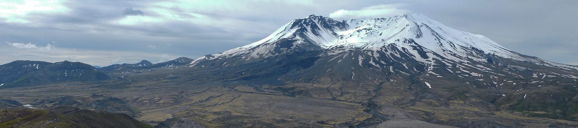
Location: Meager creek elevn: 390m. Lat. 50.60951 Long. -123.381
Direct Google URL: This link takes you to a prepared viewpoint.
Hazard type: ls
Short Description: Lahars, historical eruptions of Mt Meager.
Long Description: “Largest landslide in Canada’s history”. See a 360 panorama at: https://www.360cities.net/image/fsr/, https://www.360cities.net/image/scar/
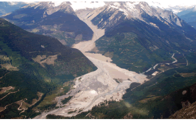
This event in 2010 west of Pemberton, BC, was the largest landslide in Canadian History. It is called the “Capricorn Creek landslide, this event could have been catastrophic, but only the road (seen lower right) was affected.
media1: Meager Creek landslide reported in the Globe and Mail, August 8, 2010.
media2: 15 photos of this event.