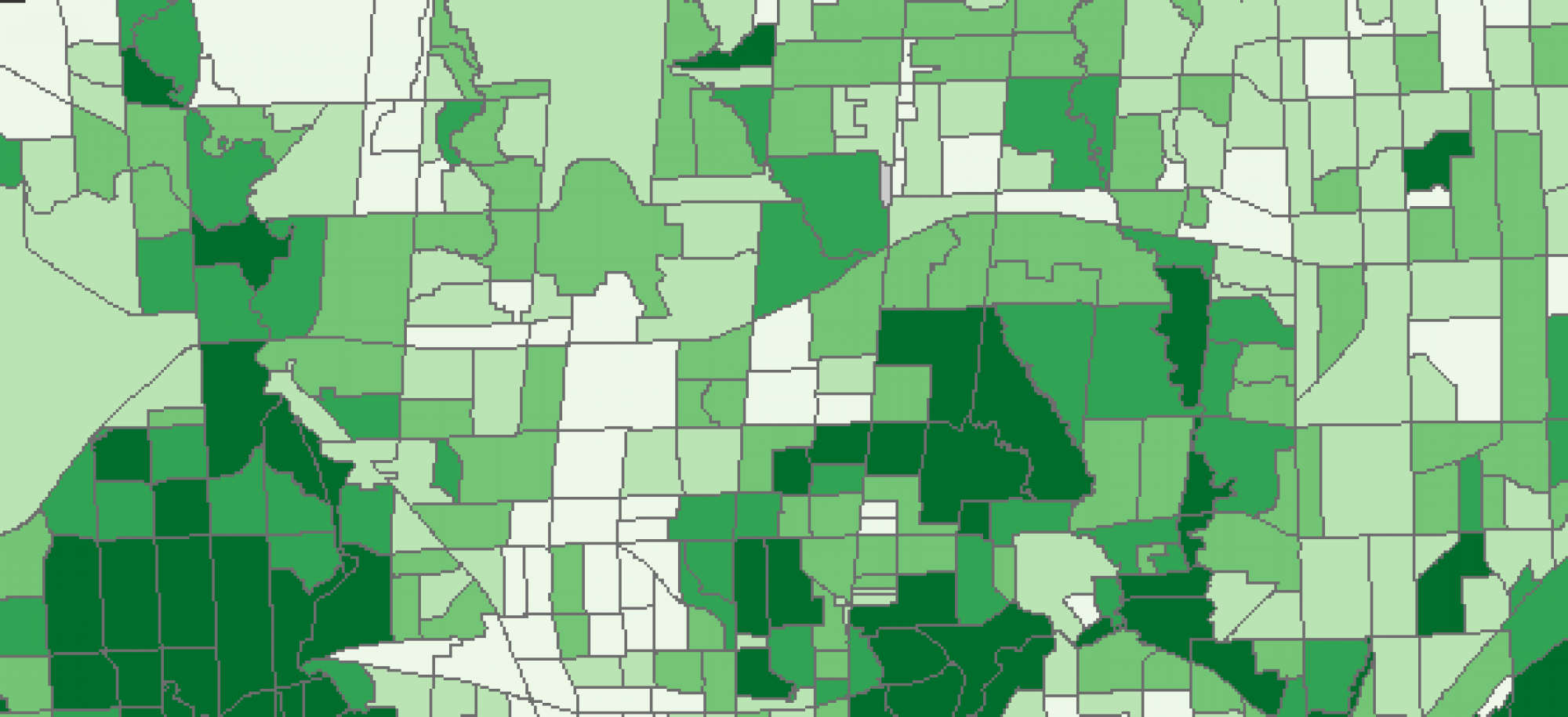
GIS can be a particularly useful tool for crime mitigation, research and policing. By visualizing crime incidences and performing various analysis techniques it becomes possible to identify regional or local clusters of crime which may vary by time of day, week, month or year. There are three key theories regarding environmental criminology which GIS can be applied with. including: routine activity theory which is concerned with people (or criminals) and their predictive daily habits, rational choice theory which assumes criminals act with rational behavior and therefore patterns of their crime can be deduced by analyzing their incidence and lastly criminal pattern theory which tries to determine/ predict when and where offences will occur due to population characteristics and time characteristics. Put together environmental criminology maps the spatial distributions of offences with the preconceived notion that their distribution across space is not random. And by performing various analyses like cluster analysis, hot spot analysis or kernel density analysis you can determine patterns of crime and plan for it’s mitigation.
