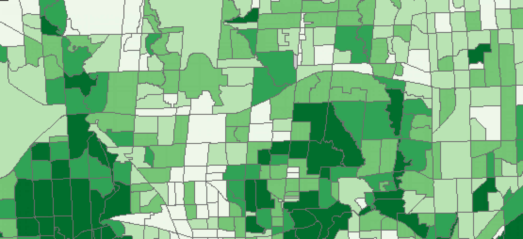
This class outlined some of the various methods and applications of GIS in health geography. GIS can is commonly used for four primary applications. These include spatial epidemiology which is concerned with looking at the distribution of disease and trying to determine underlying causes or factors which lead to its incidence and dispersion with the goal of disease mitigation. Environmental hazards, uses hazard surveillance to map sources of pollution of potential harmful sites. GIS is then used to create exposure surfaces and overlay them on top of population data to determine areas in a place which may be exposed to heightened risk of exposure. Mapping environmental hazards can be linked to issues of environmental justice where there is investigation into the potential inequitable exposure of under privileged populations to detrimental environments. GIS and network analysis can be used for modeling health services to identify areas that do not have equitable access to health services and are subsequently at higher risk. This can be particularly useful for the provisioning of resources. Lastly GIS can be used to identify health inequalities, in doing so leading to questions about why certain areas may have higher rates of mortality or exposure to disease or environmental effects than others. Put together, GIS becomes a powerful tool in the hands of health care providers, researchers and policy makers for identifying problems related to health and developing effective and efficient strategies to tackle them.
