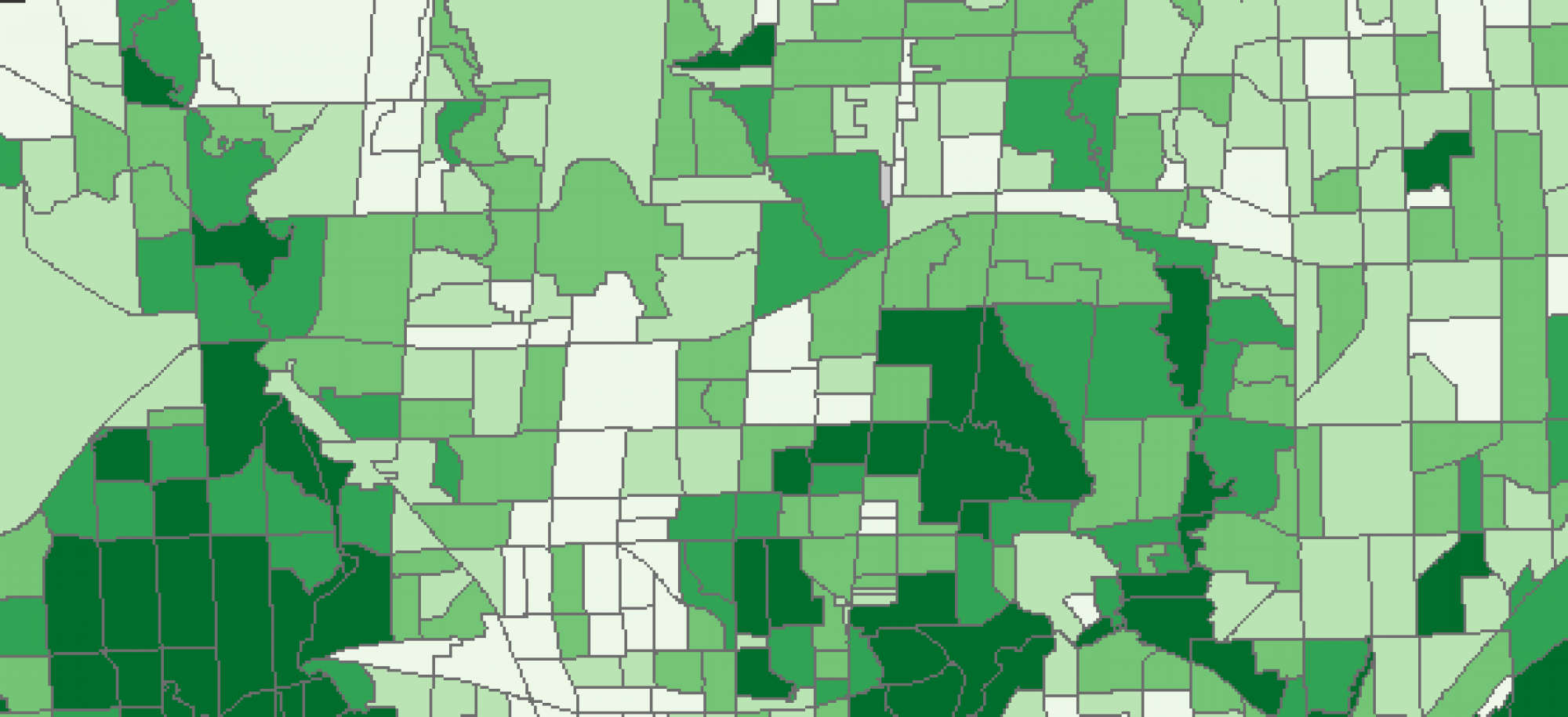
This lecture covers the various applications of geographic information systems (GIS) in firefighting and prevention. Usable both in urban or rural setting GIS can be used to identify and plan for the incidence of fires and their subsequent responses after they occur. As highlighted in this lecture the Calgary Fire Department uses GIS in numerous ways to plan and assist firefighters. GIS can be used to develop risk surface which look at housing density and the potential for fires to spread from one location for another, in doing so identifying areas which call for faster response times. Network analysis can also be used to plan fire station locations so fire response can be quick and within their mandated response time goals. Lastly it can be used to plan for future urban development to ensure that the fire department and its response capacity can grow with cities. These are just a few potential applications for GIS in fire prevention. Using a series of overlays, hot spot analyses, and calculating of risk surfaces, powerful visualizations can be produced which aid in on the ground mitigation as well as resource allocation and planning for the future.
