While geography is an important component to any phenomenon, process or pattern that occurs in space, the use of geography or GIS in analysis brings some unique issues that may dramatically affect the results or outcomes of studies. Implicit in any spatial analysis are limitations on analysis that are dictated by the scale of the process being studied or resolution of the data collected. In this blog post I review the different effects of geography on geospatial analysis that were covered in class, touching on topics of: scale, neighbours and spatial autocorrelation
The effect of scale on the results of any spatial analysis is quite influential. Therefore, the geography of a phenomenon must be carefully considered in order for results to be meaningful. While there may be scales where processes can better be explained, a phenomenon tends to always be affected by processes occurring at both larger and smaller scales. A useful analogy when considering this problem is this, a person lives in a home which is in a neighbourhood in a city in a province in a country. There are top town effects that occur at every scale which would affect the person, and when taken in aggregate individual people dictate the largest scale. Scale also limits the data in its grain and extent. The grain of data refers to the resolution of that data and is determined by the cell size, pixel size, minimum mapping unit, etc. depending on what kind of data you are using (raster, vector). The Extent of data describes the domain of the data, ie. a plot sampled in a 10×10 meters grid would have an extent of 100 square meters in a perfect square.
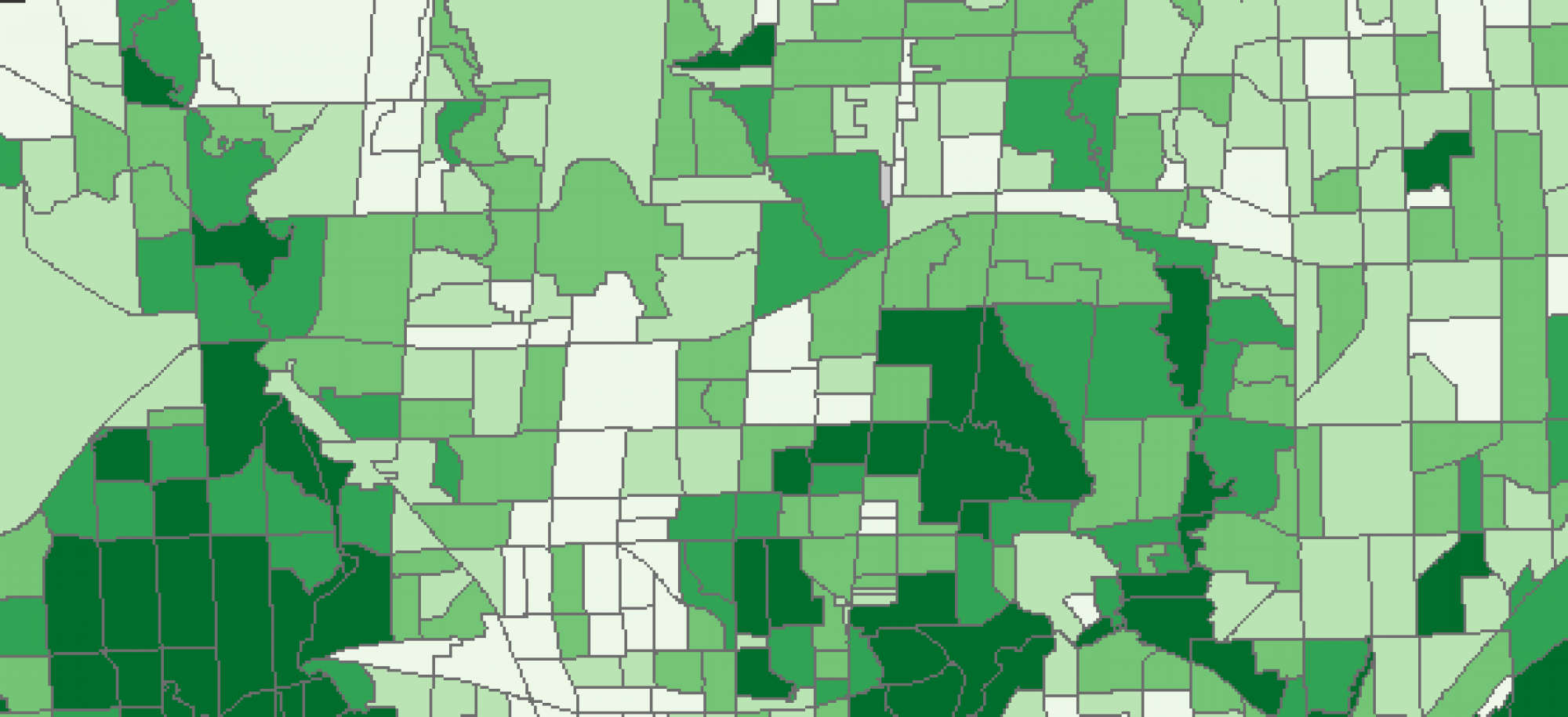
The modifiable areal unit problem (MAUP) embodies the two primary issues intrinsic to all spatial data these being the effect of scale/aggregation and spatial organization. Generally, as scale increases data is smoothed as it is averaged and the effects of small scale processes are lost and replaced with more global averages or constants. This is the effect of aggregation on spatial data. Aggregation or the zoning effect refers to the variance in statistical results using the same data analyzed at different spatial scales. As an example, imagine a 3×3 grid where cells are assigned alternating values of 1 and 0. Once values are assigned in the grid there will be 5 cells with a value 1 and 4 with a value 0. Which means in that domain 56% of cells have a value of 1 while 44% have a value of 0 signifying a high level of fluctuation between the two. Now, if that cell is aggregated so the full 3×3 plot becomes one cell, the value assigned will be a 1 because when the data is averaged there are more cells with value 1s than 0s and the cell can only have a value of 1 or 0. This simple example highlights the extent to which variability within data can be masked by looking at it in a larger spatial scales.
The organization of spatial units can also affect the outcomes of results. Along with the effects of aggregation is the implication of the spatial arrangement of areal units. Much like how aggregating data at different scales changes statistical results of data so to does the organization of that data geographically. An example of how the arrangement of spatial units can be used to alter the results of analysis is Gerrymandering in the United States. Gerrymandering refers to the configuring of voter districts in order to either concentrate minority votes into as few districts as possible or distribute them across many districts and dilute their influence. The end result in theory is to make sure that the party setting the boundaries is setting themselves up for victory in as many districts as possible. This highlights the two components to MAUP which by no means are mutually exclusive in their effects, the first as a statistical problem associated with the unit or scale of analysis, and the second a geographic and philosophical question about how the world should be organized and the people within represented.
Along with MAUP another feature intrinsic to geographic data is the effects of spatial autocorrelation on spatial analysis. Spatial autocorrelation is the phenomenon where points closer in space have more similar values which vary more with increasing distance. Spatial autocorrelation signifies a deviation from standard aspatial statistics as it implies that the distribution of most phenomenon geographically is not random, which causes issues for traditional aspatial statistical methods like ordinary least squares (OLS) regression. Spatial autocorrelation identifies areas with statistically significant clustering or dispersal and can be used to identify hotspots and lead to further inquiry into answering questions about the world.
MAUP and spatial autocorrelation are only two of the issues that highlight the importance of geography when analyzing data. MAUP highlights the significance of choosing correct or representative scales in analysis. It also highlights the flaws inherent to spatial representation, more specifically the fact that spatial data must be generalized and represented in some way that may not reflect the real world accurately. Furthermore, the presence of spatial autocorrelation in data complicates most analyses and emphasizes the dynamic relationship between geography and the phenomena occuring within it. Taken together, these factors highlight the vital role that geography plays in the analyzing of spatial data and hopefully brings forward ways in which you as a consumer of information can question and be critical of the apparent results of spatial analysis in studies and media.