University of British Columbia has released a very good new stories about robotics work being conducted here on campus. I am honored to receive a mention in the article as part of my involvement as a team member on the UBC Unmanned Aerial Systems team. Here’s to another great year and a successful Unmanned Systems Canada competition in 2015.
My Talk on Forecasting Forests under Intensifying Human Influence for Grizzly Bear Conservation
Raise your hand if you’ve ever seen a grizzly bear in the wild. Last year, I saw a grizzly bear for the first time. I had been in their presence before, but I had never actually seen one. It was a thrilling experience, in part because my colleague was so excited that he nearly drove our truck off the road. When you imagine a bear in the wild, what do you see? What is the bear’s home, or habitat? Perhaps you imagined a quiet meadow in the hills with the sound of a trickling creek, or an old growth forest with space between trees for a large bear to move about.
In reality, grizzly bears navigate a landscape dominated by human influence. Under every bear’s footprint is our footprint, whether disturbance, climate change, nitrogen deposition, C02 fertilization, or land use conversion. We have even transformed the sound and olfactory landscapes of forests. Removed from most of their historical range, space for grizzly bears continues to shrink. We are pushing remaining populations toward the edge. Yet, we don’t even know where the edge is, and we only assume it is static. Think about that for a moment.
We know that we live in a time defined by humans. The question is, ‘how can we know when and where our activities are likely to cross a tipping point, triggering a regime shift or state change?’ Empirical evidence suggests this may already be occurring. Not only does humanity require a safe operating space, so does all life on earth. We need tools to help us create this space at a scale useful to management.
While modern ecology has focused on restoring pre-modern landscapes, we must accept our post-modern reality: there is no going back; we must look ahead. We are changing the earth so profoundly that the recent past is no longer a reliable indicator of the future. How then, can we forecast forest ecosystems? While supercomputers enable fully mechanistic modeling, their cost is prohibitive. However, there is an alternative.
Dynamic forest landscape models integrate multiple ecosystem processes in a computationally efficient manner. Using this approach, we can use desktop computers to simulate forest ecosystems at the landscape scale – the most important scale for management. Through the interaction of individual forest stands, we can produce self-organization and emergence, two hallmarks of complex adaptive systems. Simple rules at the local scale can extend to produce non-linear dynamics at the landscape scale.
For my research, I am utilizing a dynamic forest landscape model fused with a germination and establishment model, as well as LiDAR-derived structural metrics, to forecast grizzly bear habitat in western Alberta. We have shown that historical changes to climate and disturbance regimes are already having a profound effect on forests. In the coming year, we will extend our work to inform grizzly bear conservation efforts at the population scale. In doing so, we hope to improve the resilience of grizzly bear habitat in an era of increasing human influence.
Computer Vision Research
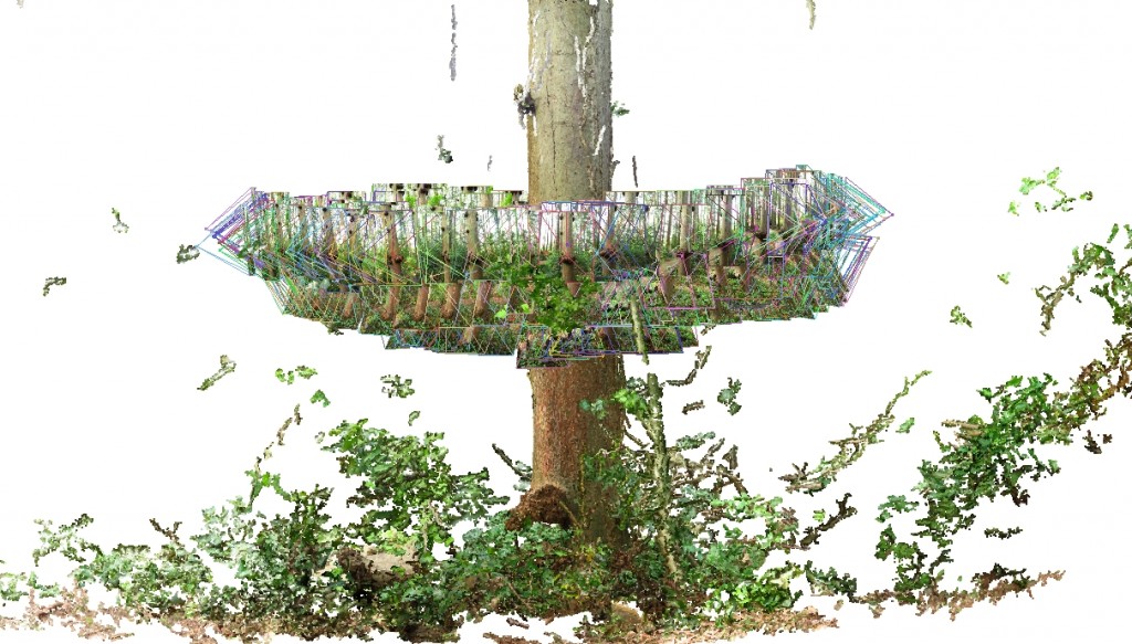
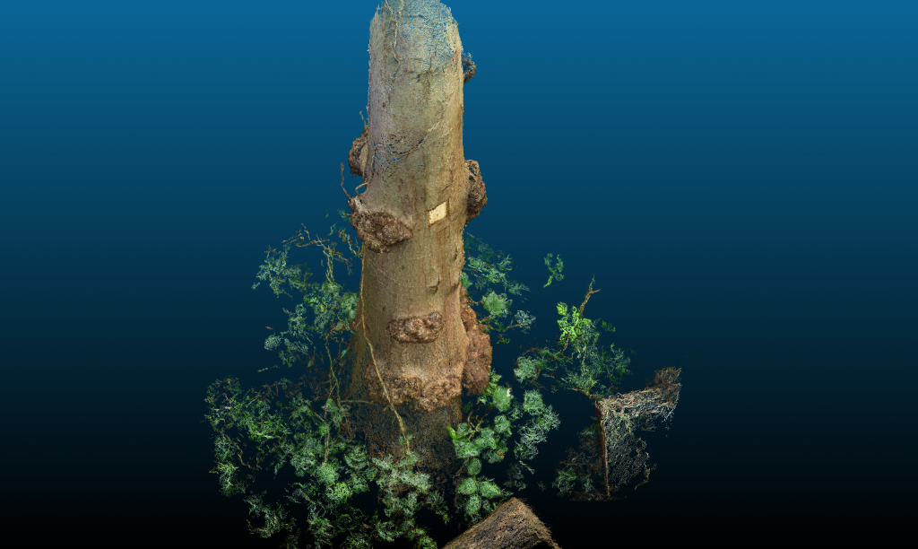
About a year ago, I started using computer vision applications to generate three-dimensional models of forests. It all began with a single very red alder (Alnus rubra) tree that was pointed out while giving a tour of a forest stand in Pacific Spirit Regional Park. Below are some images of my initial tests. I have continued to improve my methods by working with leading researchers in the field of computer vision. I also rely on similar tools for my role as the photogrammetry person on the UBC AeroDesign UAV Team, though using custom aerial platforms at a much greater distance to target.
Processing LiDAR Data
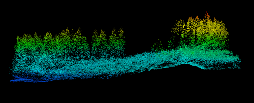
There’s something beautiful about working with LiDAR data, even though all you see is the geometry of the forest. Geometry is very important in human face recognition, but so too is color and motion:
http://ieeexplore.ieee.org/xpls/abs_all.jsp?arnumber=4052483&tag=1
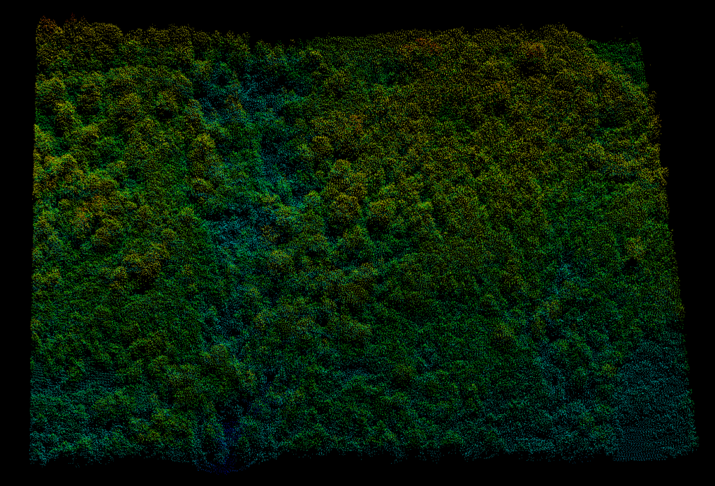
Below is a quick sample of recent LiDAR data from UBC’s Malcolm Knapp Research Forest. Can you pick out any of the tree species shown? How about any other features of the landscape?
Collecting Aerial Sensor Data for Forest Carbon Modeling
Sunday morning is a lovely time of the week, typically filled with a healthy serving of brunch. Recently, I instead took to the air in the name of science. Join me as I descend a lovely western red-cedar tree while collecting data with one of my purpose-built small aerial sensing platforms:


