University of British Columbia has released a very good new stories about robotics work being conducted here on campus. I am honored to receive a mention in the article as part of my involvement as a team member on the UBC Unmanned Aerial Systems team. Here’s to another great year and a successful Unmanned Systems Canada competition in 2015.
Category Archives: Remote Sensing
Computer Vision Research
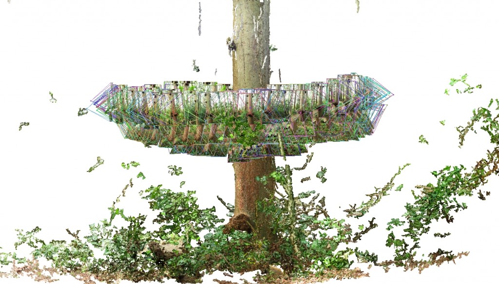
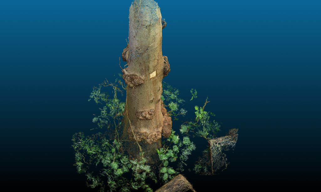
About a year ago, I started using computer vision applications to generate three-dimensional models of forests. It all began with a single very red alder (Alnus rubra) tree that was pointed out while giving a tour of a forest stand in Pacific Spirit Regional Park. Below are some images of my initial tests. I have continued to improve my methods by working with leading researchers in the field of computer vision. I also rely on similar tools for my role as the photogrammetry person on the UBC AeroDesign UAV Team, though using custom aerial platforms at a much greater distance to target.
Processing LiDAR Data
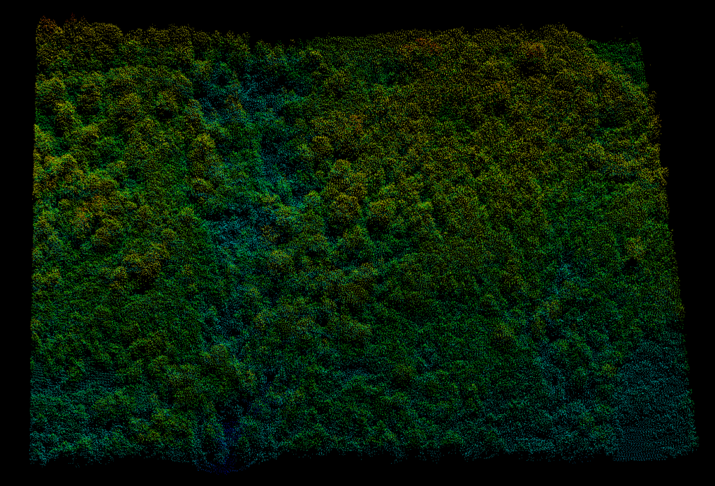
There’s something beautiful about working with LiDAR data, even though all you see is the geometry of the forest. Geometry is very important in human face recognition, but so too is color and motion:
http://ieeexplore.ieee.org/xpls/abs_all.jsp?arnumber=4052483&tag=1
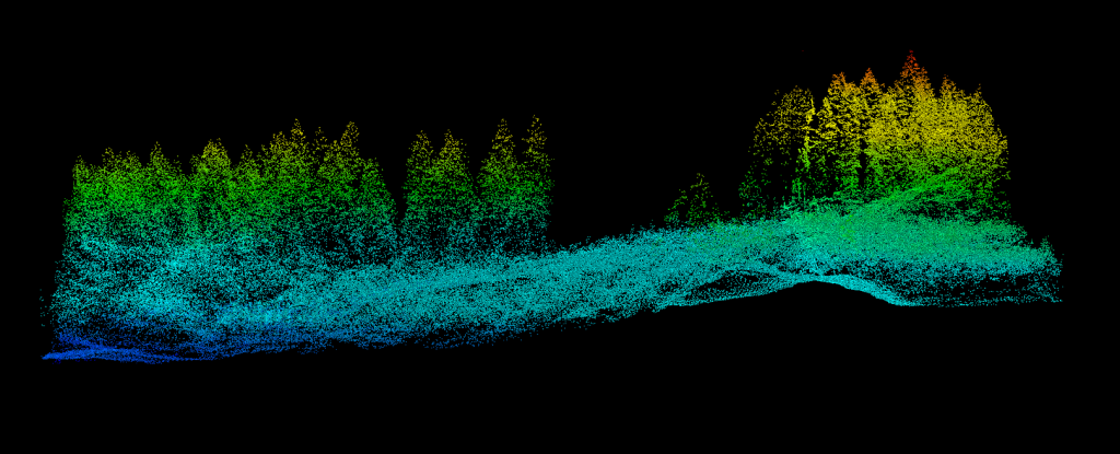
Below is a quick sample of recent LiDAR data from UBC’s Malcolm Knapp Research Forest. Can you pick out any of the tree species shown? How about any other features of the landscape?
Collecting Aerial Sensor Data for Forest Carbon Modeling
Sunday morning is a lovely time of the week, typically filled with a healthy serving of brunch. Recently, I instead took to the air in the name of science. Join me as I descend a lovely western red-cedar tree while collecting data with one of my purpose-built small aerial sensing platforms:

