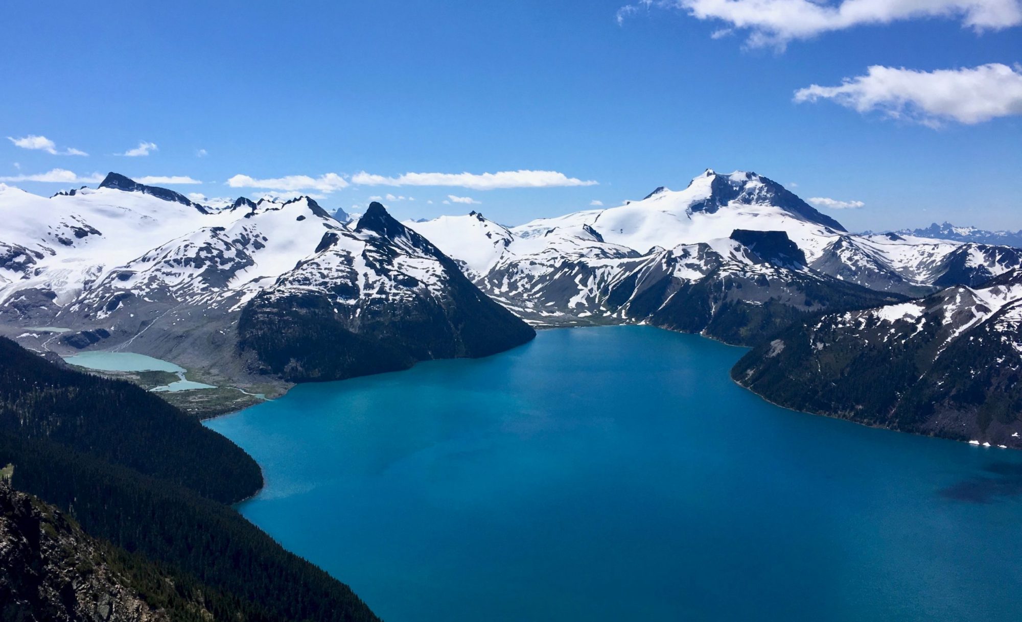
Located tens of kilometers away from populated centers, Garibaldi volcano is one of the three major composite volcanoes in Canada located in the Garibaldi Volcanic Belt. A geospatial investigation was carried out to analyze how potential eruptions of Garibaldi volcano would impact the populations of Squamish and Whistler, and to devise contingency plans for safe evacuation. Alongside hydrology and buffer analyses, lahar modelling software laharz_py was used to delineate volcanic hazard zones associated with the Garibaldi volcano. Route and service area analyses were carried out for planning evacuation procedures for populations which would be affected by a potential Garibaldi volcanic eruption. Results from our GIS analyses revealed that the populations in Whistler and Squamish would be in danger in the event of such eruption, with the latter subjected to risk of lahar flows. In addition to that, lahar flows from the eruption would cause significant damage to Highway 99 which is heavily relied on by both populations to connect to other nearby cities and towns. This project thus serves to create awareness for the government to plan initiatives in the development of official hazard maps in Mount Garibaldi vicinity and to devise strategies in the determination of any supplementary infrastructural modifications or reworkings.
GARIBALDI VOLCANO HAZARD ASSESSMENT AND EVACUATION PLANNING
GEOB 370 Final Project – Deena Natasya, Munirah Manaf and Jamie Lee