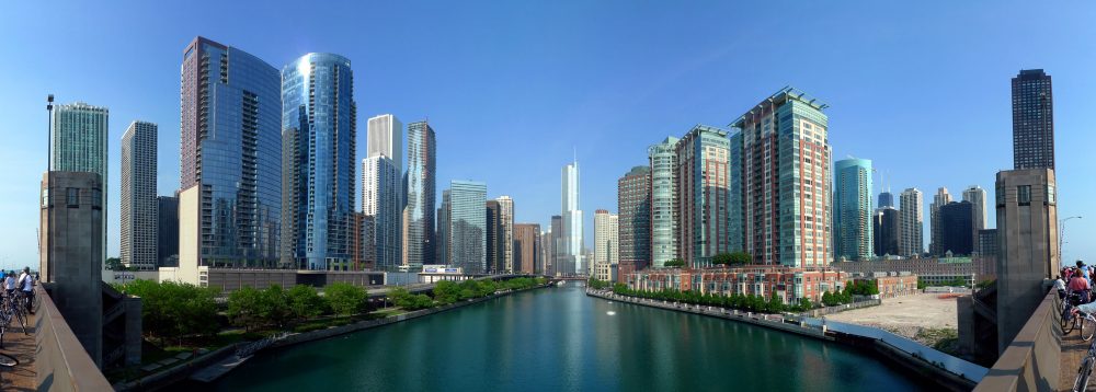
Like all major cities in the U.S., Chicago is plagued with crime, both non-violent and violent. Despite a decline in overall crime in the 2000s, there has been a rebound in the mid 2010s, especially in homicides, robberies and narcotics (CPD, 2016). This study aims to both analyze the spatial trends of crime in Chicago, as well as to identify certain crime attractors. In terms of spatial trend analysis, this project will first use kernel density to identify crime clusters at a global level, and then use fuzzy mode and nearest neighbor hierarchical clustering analysis to determine crime clusters in a local level. In a study conducted by Bernasco and Block, they theorized that public infrastructures and popular public spaces like sport venues facilitate crimes by providing conditions that favor criminal activities (2010). This study will test Block and Bernasco’s theory by creating multiple level buffers around CTA train stations and major sporting arenas to see if they are indeed crime attractors. We hypothesis that core areas of buffers will experience the highest density of all four types of crime in question, where as the outer buffer zones will experience decreasing crime densities. The types of crime we will be focusing on are homicides, robberies, narcotics and criminal damage. We chose these types of crime for two reasons. First, these four types of crimes are among the most rapidly rising crime categories (CPD, 2016). Second, we would like to include both violent and non-violent crimes to better represent the overall crime in Chicago.
Analysis of Transit Stations and Sport Stadiums as Crime Attractors in Chicago
Geob 479 Final Project by Darren Schouls and David Zhang
