We began our project by obtaining data from the Data Portal of Chicago and an ArcGIS webpage:
| Data Name | Source of Data |
| Chicago Census Tract (2012-2016) | Chicago Data Guy |
| CTA – ‘L’ (Rail) Stations | Chicago Data Portal |
| Major Streets | Chicago Data Portal |
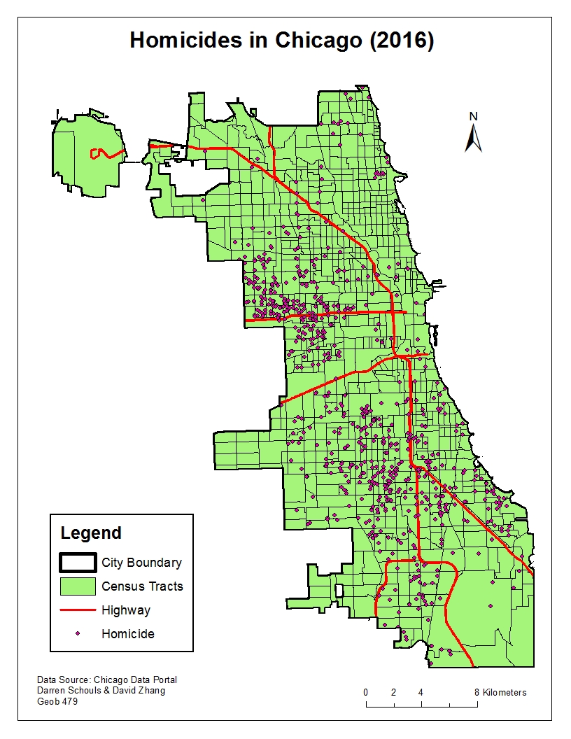
| Crimes 2016 | Chicago Data Portal |
| Major Sporting Stadiums | ArcGIS Webpage |
In deciding the types of crime we wanted to analyze, we hypothesized which criminal offences would occur more frequently around transit stations and sport stadiums. We also wanted to have a varying degree of severity in terms if violence, with these factors in mind we chose to analyze the following crimes:
Criminal Damage (Raw data)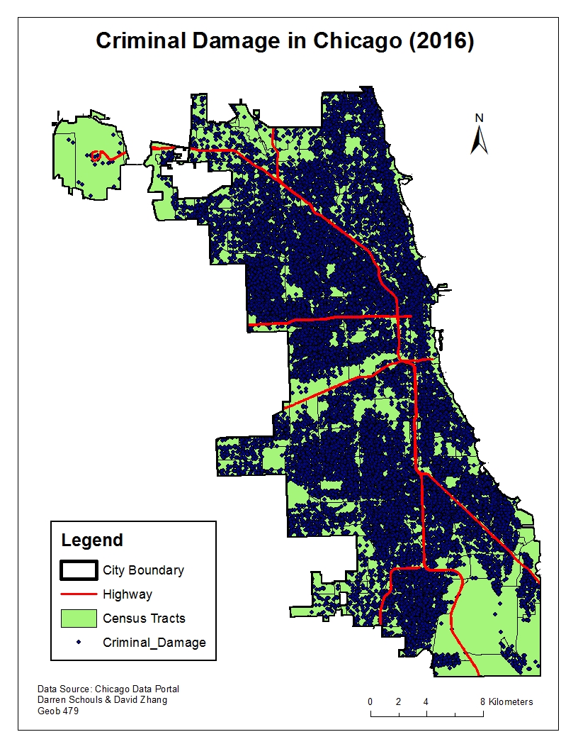
Narcotics (Raw data)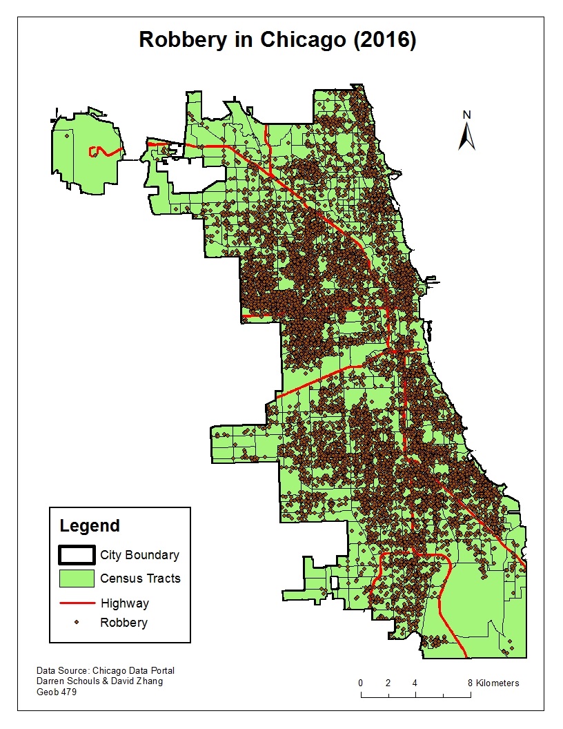
Robbery (Raw data)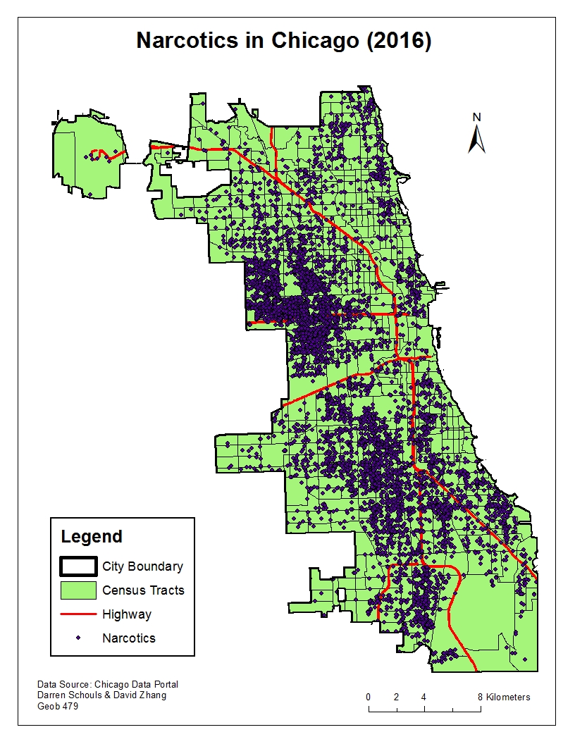
Homicide (Raw data)