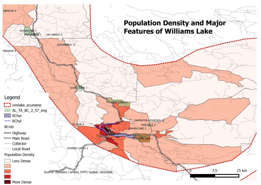
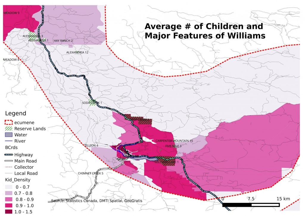
Our group member Iain Majorbanks used OpenStreetMap, GIS skills and data source from Statistic Canada to compile these maps of the region around Williams Lake. (click to view in full size)
GEOG 379b Williams Lake Social Planning Team
A Collaborative Project between UBC Students and the Social Planning Council of Williams Lake


