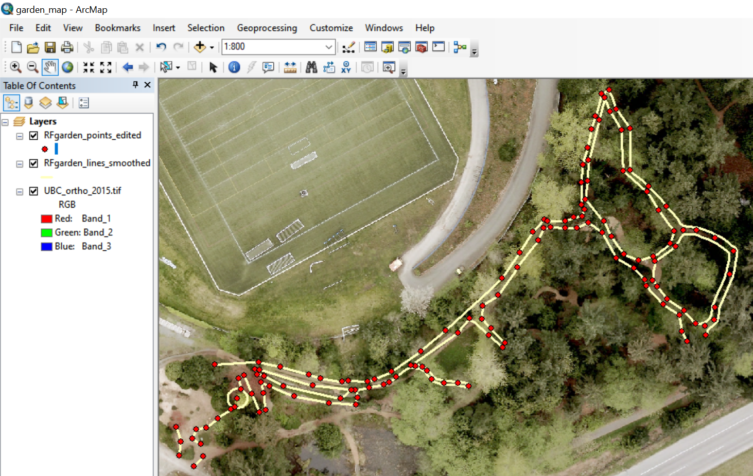
While studying in the MGEM program during 2018 and 2019, I joined a volunteer team at the University of British Columbia Botanical Garden to work on mapping the footpaths in a section of the garden. Due to the small size of the paths and the canopy cover, the paths could not be mapped accurately using aerial imagery or smartphone GPS applications. Our team learned how to use a high-accuracy handheld GPS receiver with a mobile antenna that was able to provide sub-meter accuracy. In addition to collecting points using the receiver, we used a laser rangefinder to derive additional point locations using distance and azimuth relative to the GPS points. After collecting the field data in early 2019, we entered the handwritten field data into a spreadsheet and then created a Python script to generate new points in a shapefile using the rangefinder data. We then edited the point data in ArcMap by connecting path edges and smoothing the lines to create a usable file that the garden staff could use for mapping.

Geomatics Graduate Student
