Introduction
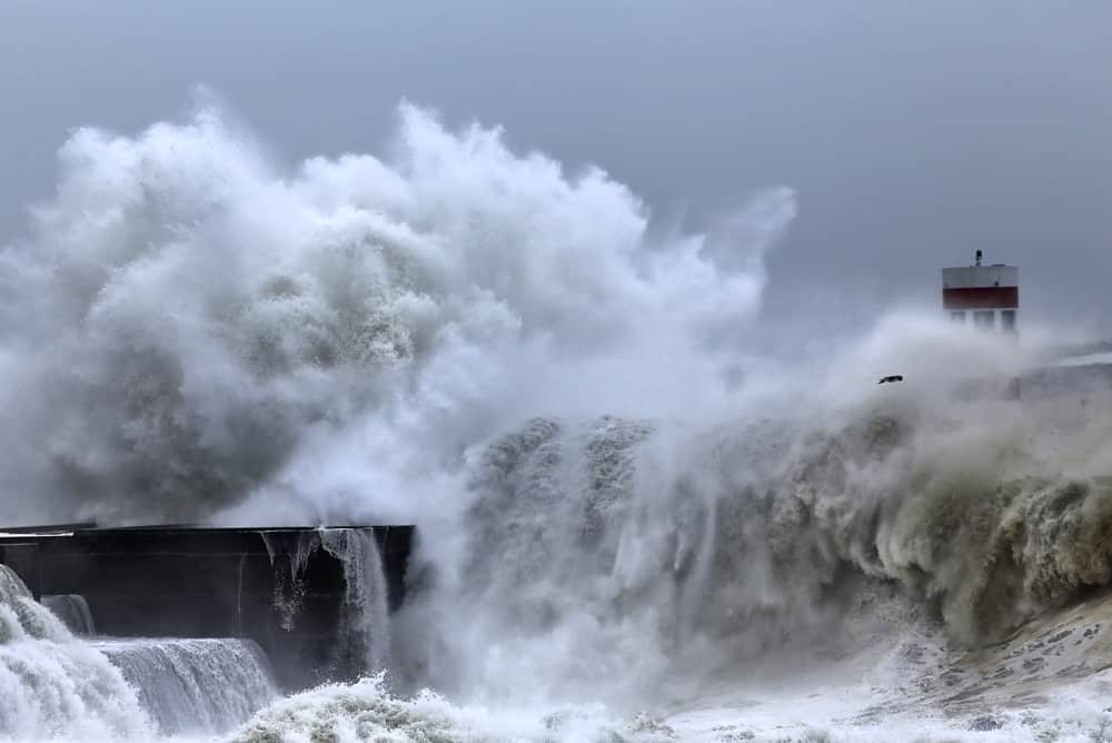
Storm surges are classified as the atypical rise in seawater level during a storm. Given the prevalence of climate change and the subsequent intensification of such storms, there is great concern around flooding. Thus, in this lab we were required to create four maps highlighting the risk of flooding resulting from storm surges in Metro Vancouver. For the purpose of simplicity, we assumed that the direct area of risk from a storm surge is at low elevation regions (< 6 m) that are within 1 km of the shoreline.
Maps
The first map created for this lab depicts Metro Vancouver with a gradient of colours to highlight elevations. This map is useful as it separates high elevation areas and low elevation areas quite distinctly, thereby allowing for a general understanding of which areas may be at risk to flooding from storm surges. Map 2 however, provides much more detail as it incorporates a 1km buffer intersected with areas of low elevation, specifically < 6 m to depict the regions in the immediate danger zone of storm surges. Map 3 is also quite detailed as it includes all the different types of roads alongside their total lengths that fall in the potential flood region. Map 4, on the other hand, focusses specifically on the new St. Paul’s hospital location located in the False Creek tidal flats alongside the many schools in this area to visualize the risk of flooding to the hospital and schools.
Risk Analysis
Based on maps 1 and 2, it appears that there are many significant areas throughout Metro Vancouver that would be affected by storm surges. In particular, it appears that the coastal regions of Vancouver, Richmond, and Delta are most at risk. Based on map 3, there is also a considerable portion of roads that could be affected by storm surges with a potential of 140807.9 km of highways and expressways at risk and 150303.3 km of major roads at risk. This is concerning given that highways and expressways are essential routes of travel for many individuals across Metro Vancouver. Lastly, based on map 4 the new location of St Paul’s Hospital is particularly concerning given that it is located in an area of fairly low elevation. However it is not included in the 1 km buffer and low elevation intersection shown in Map 2, thereby indicating it is not in the immediate danger zone from storm surges. Additionally, there are no schools in the potential flooding region based on this lab analysis. Nonetheless, it is important for the CoV to implement emergency preparedness maps
DEM Resolution/Errors
In terms of the DEM resolution, this analysis has made me realize that the more refined the resolution is (as in the case of fcdem1m) the more you can see little details. Thus, it makes more sense to work with higher resolution in the case of an analysis that requires focus on a specific area such as in the case of St Paul’s Hospital. Overall, in this data analysis provided by the maps I have formulated, there may be data errors that arise due to the age of the data in the case that it has not been recently updated, due to data missing in a particular area, or due to variation in data because of measurement error based on my crude outline of St Paul’s Hospital.
Accomplishment/Skills
Some of the tasks completed and subsequent skills and accomplishments gained from this lab include:
-
- Classified a raster DEM to categorize low elevation areas and analyze the subsequent regions of the CoV at risk of flooding due to a storm surge
- Intersected a 1 km buffer with the areas of low elevation (< 6 m) to create a map that depicts the regions of the Cov in the immediate danger zone from storm surges
- Calculated lengths of different types of roads that fall in the potential flood region to analyze the risk that flooding poses for the transportation network
- Digitized a polygon for the proposed site for St. Paul’s Hospital upon the DEM of False Creek to determine the risk of flooding based on elevation