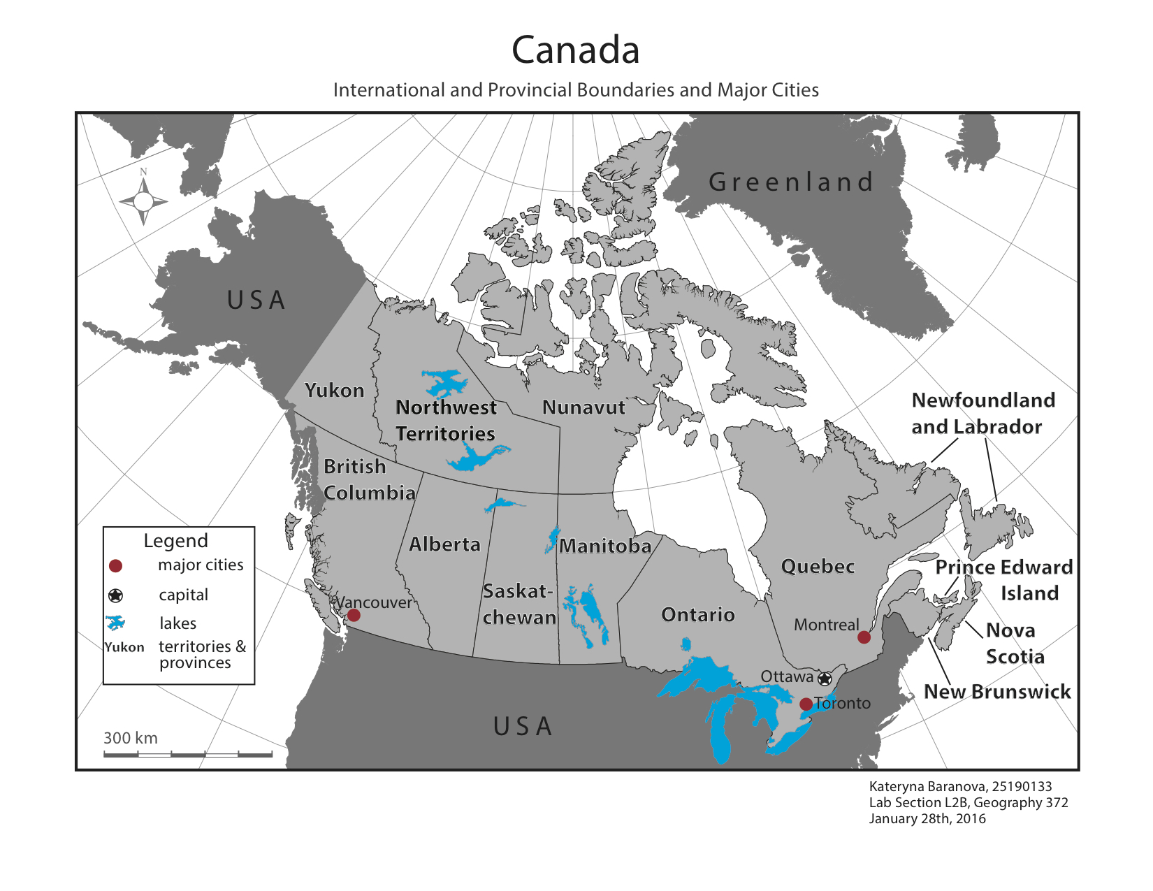
Map of Canada depicting territories and provinces, political boundaries, major cities and lakes.
Note: As this is one of the first maps I created using Illustrator, it has quite a few errors. Major ones include the incorrect scale bar and not having all water features of one colour.