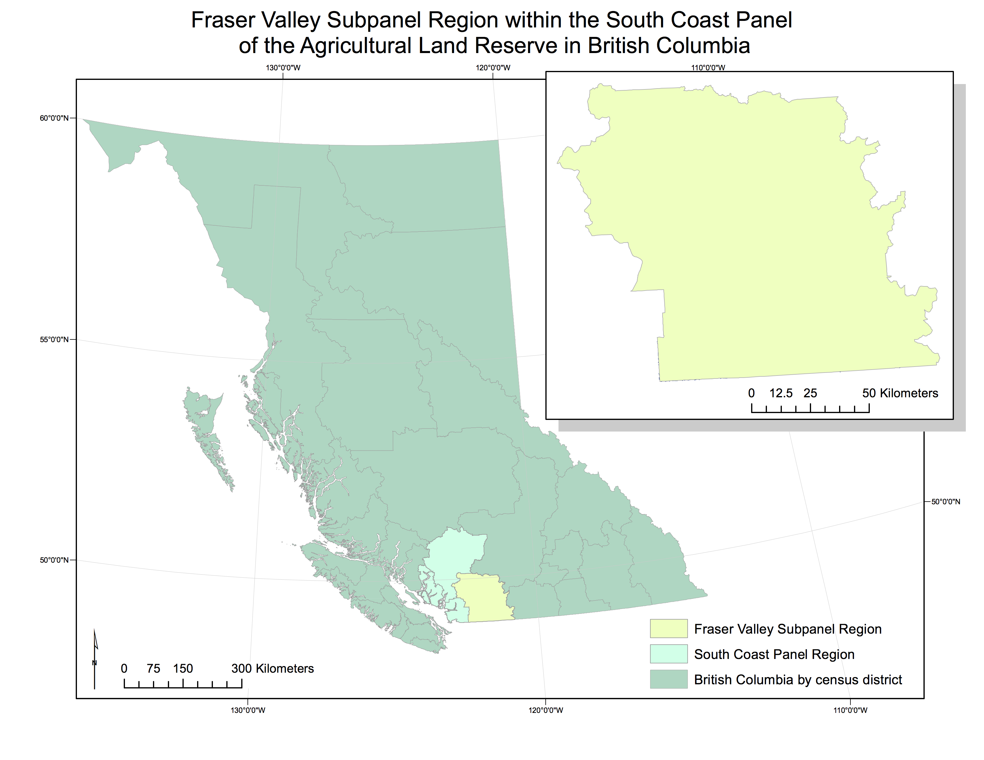
 Our project goal was to determine the current availability of land for that is prioritized as agricultural use in the Fraser Valley subpanel region of British Columbia’s Agricultural Land Reserve (ALR), and any potential threats to the current reserve area.
Our team was comprised of myself, and Alexandra (Ali) Harris. We kept written work on Google Docs, and stored data in iCloud. We referred to our flowchart throughout, and stayed in communication regularly through text and email.
We worked closely on the project, with Ali keeping track of our data sources and writing the final report, and myself creating an organizational system for spatial data, performing analyses in GIS and creating the maps.
Having spent most of my life in urban environments, I am never really required to think about agricultural land. Learning that the ALR exists in British Columbia was interesting. At its core, prioritizing food security is counter to how space is generally, and particularly in Vancouver, managed and monetized. Space comes at a premium, and its monetary value is generally at the forefront of discussion. To have a system in place that prioritizes food security is heartening. The geography of the Fraser Valley made it interesting, in terms of proximity to BC’s largest urban centre (and market) and in terms of arability. The Fraser Valley region is already very productive agriculturally, and as a result, economically productive. This thriving region is being encroached upon by the growing population that it supports and urban sprawl and development, due to growth in the Greater Vancouver Region being bound by a border, an ocean, and a mountain range.
I greatly enhanced my familiarity with GIS, particularly the importance of projections. I found the most interesting part of the analysis was creating joins between tables in order to refer the census data to the spatial data.
Ali and I were fortunate because we have a similar schedule, which reduced our need for management, per se. Separating management of the writing and the GIS components was useful.
Initially, we did not have a good data management system, so I had to reorganize all of our datasets. This made everything much clearer and the lab and when I re-imported onto the lab computer, I had a much better understanding, and found the data were much easier to work with.
There could be potential issues with data that are publicly available, such as misappropriation, manipulation, or simply misuse. For this project, for example, a housing developer could extract look at census data and easily manipulate the population to appear larger in the Fraser Valley region, thus putting pressure on the province to release ALR land for new developments.