Predator Research References
Cougar GIS base research
Larue, M. A., & Nielsen, C. K. (2011). Modelling potential habitat for cougars in midwestern North America. Ecological Modelling, 222(3), 897-900.
Larue, M. A., & Nielsen, C. K. (2008). Modelling potential dispersal corridors for cougars in midwestern North America using least-cost path methods. Ecological Modelling, 212(3-4), 372-381.
Wolf GIS research
Belongie, C. C. (2008). Using GIS to Create a Gray Wolf Habitat Suitability Model and to Assess Wolf Pack Ranges in the Western Upper Peninsula of Michigan [Scholarly project]. In Smumn.edu.
BC Wolf habitat preference research:
Canada, British Columbia, Ministry of Forests, Lands and Natural Resource Operations. (2014). Management Plan for the Grey Wolf (Canis lupus) in British Columbia (ISBN 978-0-7726-6807-3).
Road Buffer:
Taylor, L. (2010). The Influences of Roads on Wolf Movement on the Scandinavian Peninsula in Summer [Scholarly project]. In Hedmark University College: Faculty of Forestry and Wildlife Management.
Wolf House buffer research:
Kartinen, S., & Et al. (2005). Finnish wolves avoid roads and settlements. Annales Botanici Fennici, Volume 42, 522-532.
Golden Eagle GIS base research
United States, Wyoming, Wyoming National Diversity Database. (2011). Mapping Migration Important places for Wyoming’s migratory birds (pp. 8-9). Nature.org.
Layer Data References
Lakes and Waterways
Ministry of Forests, Lands and Natural Resource Operations – GeoBC. (2014).Water and Wetland 1:250,000 GeoBase Land Cover.
Broad leaf Forests
Ministry of Forests, Lands and Natural Resource Operations – GeoBC. (2014).Broadleaf Forest 1:250,000 GeoBase Land Cover.
Mixed Forests
Ministry of Forests, Lands and Natural Resource Operations – GeoBC. (2014).Mixed Forest 1:250,000 GeoBase Land Cover.
Exposed Land (Barren Rock)
Ministry of Forests, Lands and Natural Resource Operations – GeoBC. (2014).Exposed land 1:250,000 GeoBase Land Cover.
Population Centers Data
Ministry of Technology, Innovation and Citizens Services – BC Stats. (2014).2011 Census Dissemination Block.
Vancouver Island DEM Data
Obtained within G: drive under the file name “vanisl77mdem”.
Vancouver Island Transportation Path Data
Obtained within G: drive under the folder name G:\courses\data\Vancouver_Island\CanMap_streetfiles_2003\VanIsland\Streets
Source of much inspiration:
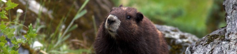
Feeney, C., & Taylor, L. (2009, December). Predictive Habitat Model for the Vancouver Island Marmot. Retrieved from
http://ibis.geog.ubc.ca/courses/geob370/students/class09/cefeeney/