Vancouver – Tsunami Risk Analysis
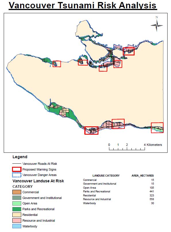
Based on our analysis of the risk Vancouver faces from a tsunami, we calculated that 11.35% of the City of Vancouver is under threat in the event of a 10m tsunami wave. This area at risk was found by creating a 1 km buffer around the shoreline of the city and finding the land that sits below 10m elevation in this buffer zone. To calculate a percentage of the city that is at risk, this was simply compared to the area of the city itself.
Within this at risk zone we also identified the education and healthcare facilities that could be at risk of damage:
Health Facilities at risk:
False Creek Residence
Broadway Pentecostal Lodge
Yaletown House Society
Villa Cathay Care Home
Education Facilities at risk:
St. Anthony Of Padua
Ecole Rose Des Vents
False Creek Elementary
Emily Carr Institute Of Art & Design (ECIAD)
Henry Hudson Elementary
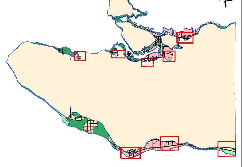
Finally, we looked at the different landuse categories in the City of Vancouver and quantified how much of each area was at risk. From this we can see that Resource and Industrial landuse areas have the highest area affected at 558 ha, followed by Parks and Recreational areas at 441 ha and Residential areas at 323 ha. Based on the at risk areas, we also identified potential areas in which warning signs should be considered to educate the public and inhabitants of the area of the risks.