GEOB 270 – Intro GIS
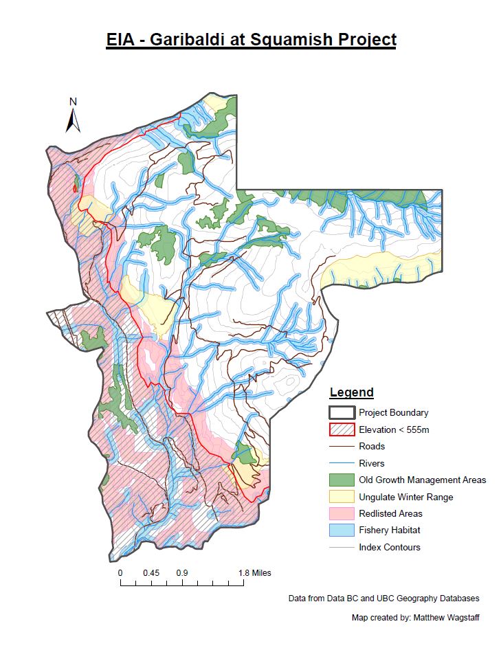
Sample work produced during the course
I first created this online portfolio to post my work from this introductory GIS course taken at UBC from Sept-Dec 2015. The course was a great introduction to GIScience theory and a great way to learn the practical skills to conduct geographic analyses in ArcGIS. The course website lists that students who complete this course will:
- understand the theoretical underpinnings of Geographic Information Science (GIScience) as a discipline in support of geographic analysis.
- have practical working knowledge of one GIS software package, ESRI’s ArcGIS, using a variety of datasets in multiple contexts for geographic analysis (natural hazards, social geography issues of housing affordability, environmental impact assessments).
- understand the ethical implications of GIScience analysis inherent in issues of data quality, validity, reliability and biases in GIS processing and display.
- be able to critically assess products that result from GIS analysis.
- learn how to work in teams to explore with GIS real-world geographic analysis.