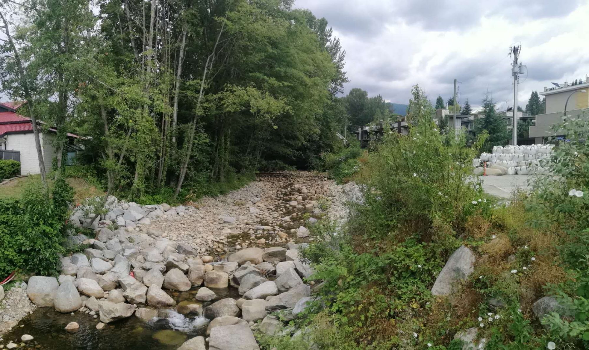
No recent climate data (i.e., 2000 – 2020) had been recorded for North Vancouver Mosquito Creek climate station (1105663); therefore, precipitation data retrieved from West Vancouver AUT (1108824) and North Vancouver Sonora Drive (110N6FF) were adopted as climate inputs for the lower and middle watershed as they are located in proximity to the study area. As the streamflow data was also unavailable for Mosquito Creek Watershed, a regional analysis of streams with recorded flow data was conducted to verify the performances of the model.
Criteria for Selecting the Most Appropriate Data Series
• Situated in CNV or DNV;
• Minimum of 10 years of available maximum instantaneous discharge data;
• Undisturbed discharges (unregulated discharges); and
• No possible attenuation of the peak discharge (e.g., large lakes).
Calibration Results
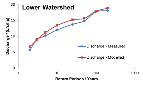
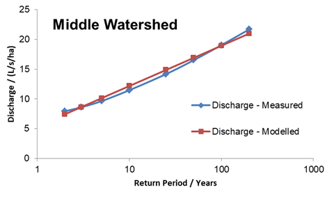
Seymour River near North Vancouver (08GA030) and Mackay Creek at Montroyal Boulevard (08GA061) were found meeting these criteria for the lower and middle watershed, thus the recorded streamflow data was compared to the modeled values to complete the calibration. The figures below illustrate the graphical presentations of the comparison results. The model estimated discharges show a near-perfect match to the recorded data for Mackay Creek, and thus the outputs would accurately represent the existent watershed situations.
 Follow