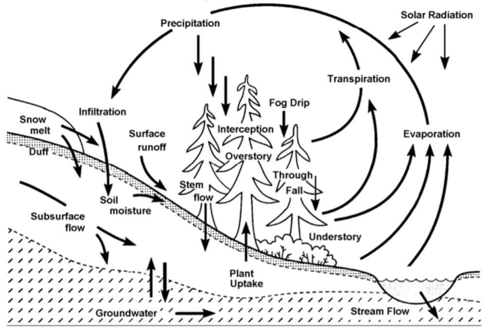
In hydrology, the water balance refers to the cyclical movement of water between the land and atmosphere, which encompasses precipitation, loss (mainly through evaporation), discharge (surface runoff, aquifer recharge/discharge, and interflow), and infiltration (Whittow, 1984).
Source: Partnership for Water Sustainability in BC, 2014
It can be expressed in the equation below:
P = D + L + I
where P is precipitation (mm); D is discharge (mm) equivalent to the amount of rainwater entering into the stream through three flow paths: surface runoff, aquifer recharge/discharge, and interflow; L is loss (mm) through evapotranspiration; and I is infiltration (mm) to the soil. Putting it into a watershed context, the water balance of a watershed involves processes that add or subtract water from the watershed and include all the aforementioned components.
The Water Balance Model (WBM) was developed to illustrate the impacts of urbanization on surface runoff discharge rates and direct runoff depths as well as performances of development alternatives that result in fewer disturbances to the natural surface condition (Partnership for Water Sustainability in BC, 2014). This methodology mainly comprises of two modules: a streamflow duration analysis indicating the impacts of land uses on the flow paths of rainfall, and a rainfall mass balance analysis that quantitatively demonstrates the processes that add or subtract water from the watershed. The built-in simulation of water balance in the tool is conducted by the Quality Hydrologic Model (QUALHYMO) in reference to multiple years of recorded climate data (including hourly precipitation, hourly temperature, and monthly evaporation) and stream discharge for establishing the scenarios. The QUALHYMO model allows users to compare multiple development scenarios based on land uses through managing hydrological calculation results on a web-based decision support interface.
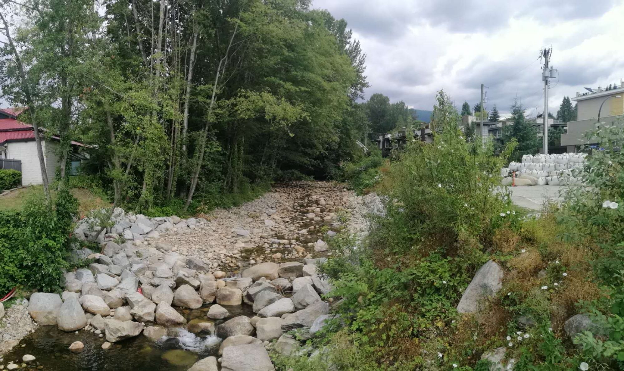
The assessment of the Mosquito Creek Watershed was performed based on hydrometric and the weather series based on climate stations that are nearest to the project location. Observed changes in precipitation and temperature in recent decades indicate that the effects of climate change are not negligible to predict future scenarios (City of North Vancouver, 2013). Therefore, climate change factors were considered for this case study based on the work by the Pacific Climate Impacts Consortium at the University of Victoria that adopted fifteen Global Climate Models to generate the average multiplicative factors.
 Follow