Welcome to the site for Brett Pasula’s GEOB 370 final project: Volcanic Hazard Assessment of the Mount Meager Volcanic Complex: A GIS-based Approach. Please use the menus above or to the right to navigate the site.
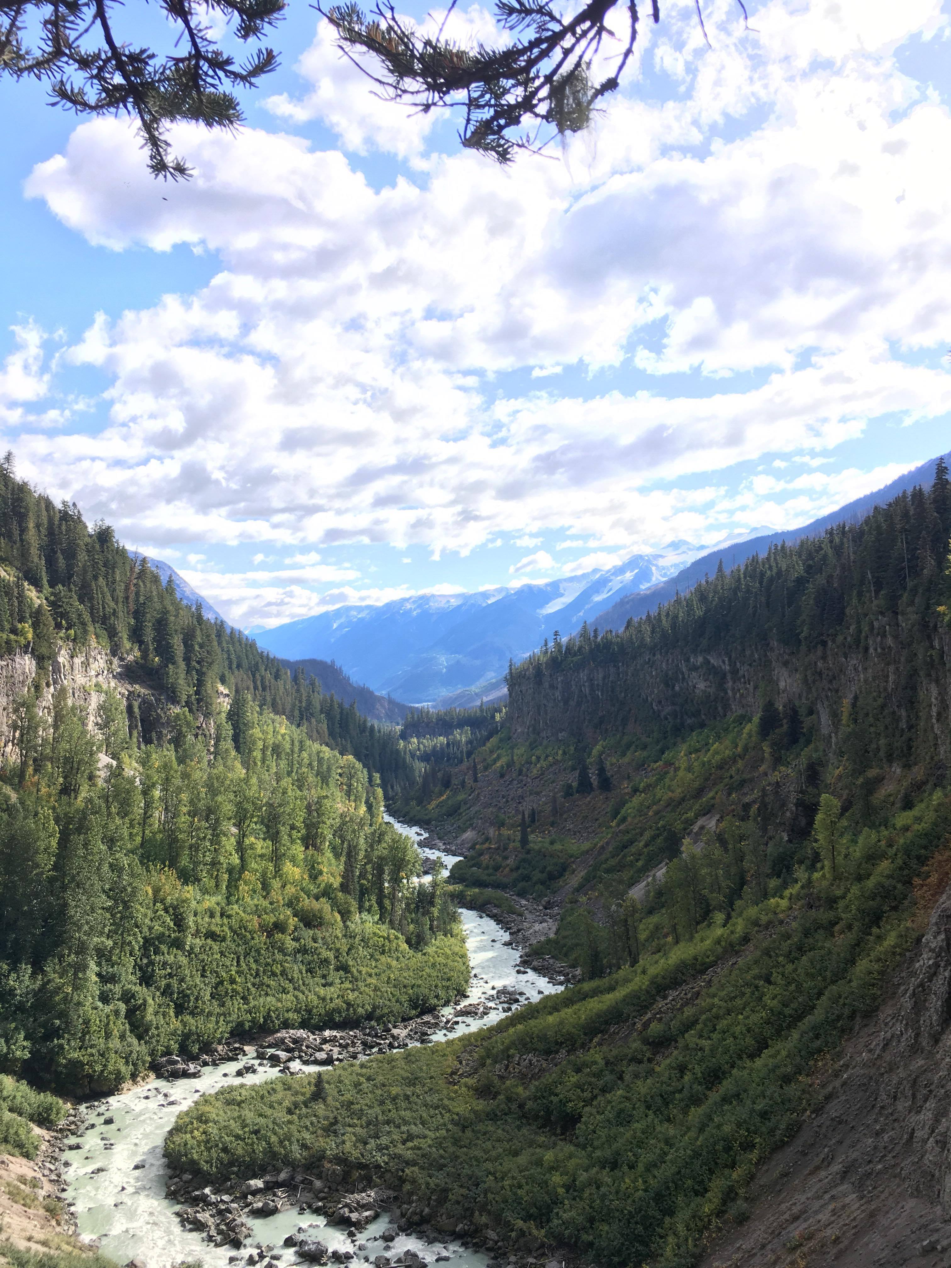
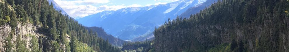
Looking down Lillooet River above Keyhole Falls. The large river valley seen here was created in a very short time by a massive dam failure following the emplacement of a block and ash flow during the most recent eruption.