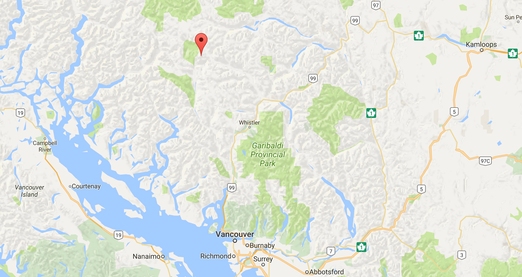
The Mount Meager Volcanic Complex is an amalgamation of Pliocene to Recent volcanic rocks ranging in composition from basalt to rhyolite (Read, 1990). It is a result of three episodes of volcanic activity which pierced through Mesozoic metamorphic and granitoid bedrock. The vent has constantly been migrating, the Bridge River Vent being the most recent (2360 BP), and is focused on in this study as the primary source of volcanic material.

Location of Mount Meager Volcanic Complex (from Google).
The volcanic complex has been constantly falling down throughout its history, the most recent mass movement being in 2010 (see Mass Movements section under Methods and Results). One of the most prominent hazards to newly built infrastructure in the area is mass movements, and many attempts are being made to stimulate funding for active monitoring of the area.
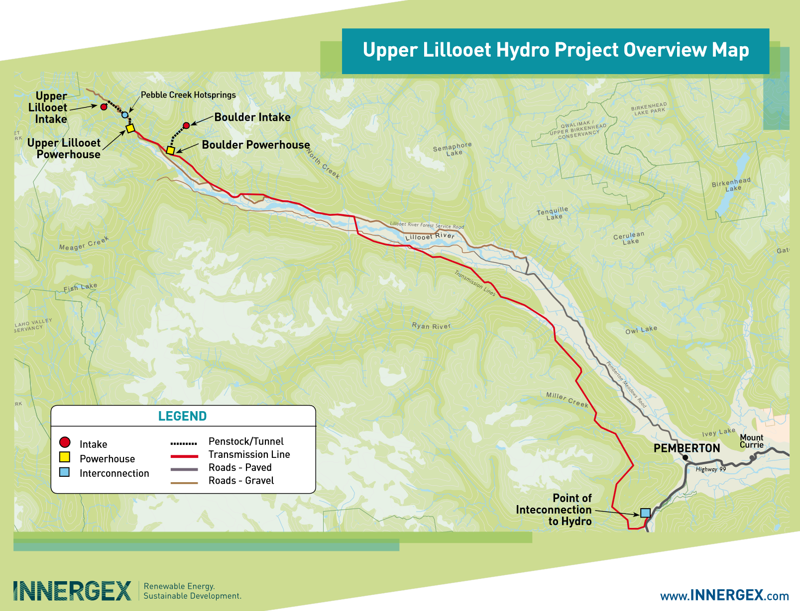
As of 2017, a brand new hydroelectric facility has been built along the Lillooet river and one of her tributaries. The Upper Lillooet Hydro Project includes two run-of-river, clean energy generation facilities. The first, which is built directly into a narrow part of the Lillooet River above Keyhole Falls is the Upper Lillooet River Hydroelectric Facility (81.4 MW). The second, which is located at a higher altitude downstream along one of Lillooet River’s tributaries, is the Boulder (Pebble) Creek Hydroelectric Facility (25.3 MW). Along with the two hydroelectric facilites, there are two powerhouses, and a 230 kV trasmission line that runs approximately parallel to the Lillooet (Figure 2).

Figure 2: Upper Lillooet Hydro Project Map (from http://www.upperlillooethydro.com/project/).
Other infrastructure around the volcanic complex includes two commerical pumice pits. The area is also an active logging area. There is significant human settlement downstream from the complex, the first being the farmland of Pemberton Meadows and the second being the town of Pemberton. Active volcanism and mass movements threaten human lives of those working in close proximity to the area, as well as far downstream.
