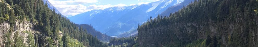
A typical Volcanic Hazard Assessment (VHA) of any volcanic area typically includes research into some or all of the following: tephra/ash, lava flows, lahars, pyroclastic flows, and mass movements.
Several methods were used to delineate hazards at the Mount Meager Volcanic Complex. The most important of these (especially for analyzing risk at this site) was the use of Laharz_py created by the USGS to model lahars, debris flows and rock avalanches. Additional methods employed included the use of multi-criteria evaluation to estimate slope stability, TEPHRA2 to map isopachs of tephra dispersal and Energy Cone to map areas which may be affected by lava flows and pyroclastic flows caused by a collapsing eruption column. TEPHRA2 and Energy Cone were run in the VHUB environment. A general description of each of the tools may be found below, while specific steps are listed in each hazards’ respective section.
All analyses were completed using the projected coordinate system UTM Zone 10 N, and North American Datum 1983 (NAD83).
Laharz_py: A suite of tools written in Python for use in ArcMap GIS. It is a computational model that forecasts areas likely to be inundated by hypothetical future events using physically motivated and statistically calibrated power-law equations. A report on the software as well as a free download is available at https://pubs.usgs.gov/of/2014/1073/.
TEPHRA2: From the VHUB website descriptions, “TEPHRA2 uses the advection diffusion equation to forecast tephra dispersion in a given location based on a user-defined set of eruptive conditions.” It is available to be freely run in the VHUB environment at https://vhub.org/resources/tephra2.
Energy Cone: From the VHUB website descriptions, “The Energy Cone tool is a simple methodology that can be used to estimate the runout and inundation area of pyroclastic [flows], landslides, and other mass movements. This tool creates a simple output with the Energy Cone contour on top of a hillshaded image calculated from the DEM. If the DEM is in degrees, a kmz file is created which can be downloaded for visualization.” Although the tool is not explicitly meant for mapping lava hazards, I grouped lava in with pyroclastic flows. This is discussed further in that specific section. The tool is available to be freely run in the VHUB environment at https://vhub.org/resources/econe.
VHUB: From the website, vhub.org, “VHUB is a free online resource for collaboration in volcanology research and risk mitigation. VHUB provides easy mechanisms for sharing tools to model volcanic processes and analyze volcano data, to share resources such as teaching materials and workshops, and to communicate with other members of the volcanology community and with members of the educational and stakeholder communities. Volcanologists can use VHUB to collaborate with people around the world, and can have full control over the privacy of that collaboration.”
![]()