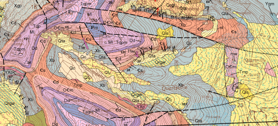
Geographic Information Systems (GIS) technology is used to manage and utilize geographic data and is widely recognized as an essential tool in diverse fields such as forest management, urban planning, engineering, municipal management, business, and environmental studies.
The program combines theory and practice and covers:
- GIS principles,
- Training in GIS software
- Technical issues
- Remote sensing
- Digital mapping
- Management issues
Current BCIT courses:
GIST 7100: Fundamentals of GIS
GIST 7108: Fundamentals of Mapping
GIST 7109: Mapping using Microstation
GIST 7128: ArcGIS 1: Introduction
GIST 8118: Remote Sensing
