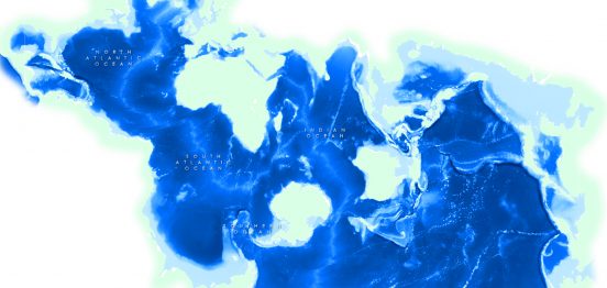
Using Ocean-centric Projections: Spilhaus Projection
Overview: Some maps are designed to challenge our assumptions of the world and force us to look at our world…

Overview: Some maps are designed to challenge our assumptions of the world and force us to look at our world…

Overview: This assignment assumes a potential large explosive point source and examines and describes the transport of that material over…
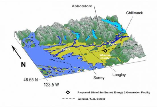
Overview: SUMAS 2 was an electric power plant proposal in the town of Sumas, Washington near the Canadian-United States border….
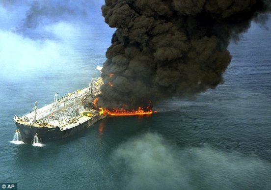
Final Project for GEOB 402 Objectives: Examine a specific event using a modeling tool (e.g HYSPLIT, Gaussian or Plume Model)…
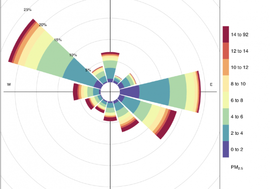
Overview: PM2.5 refers to tiny particles or droplets suspended in air that are two-and-half microns or less in width. PM2.5…
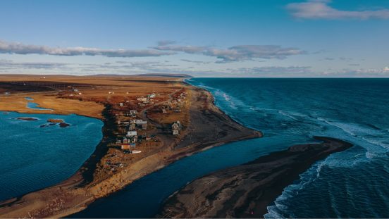
Overview: Alaskan Pollock is a key species in the Alaska groundfish complex and a target species for one of the…
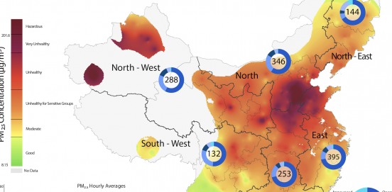
Overview: For the final project of GEOB 372, we were tasked with making a thematic map on any issue we…
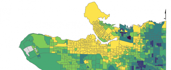
Overview: Choropleth maps are the most common type of quantitative thematic map. Data on many topics are commonly captured as…
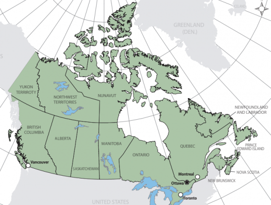
Overview: Create a coloured reference map of the provinces, territories and cities of Canada. Audience of the map is for…
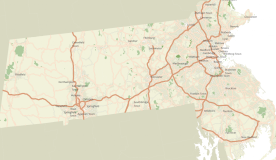
Overview: A map is a graphic – either static of dynamic – that conveys a geographical story. In other words,…
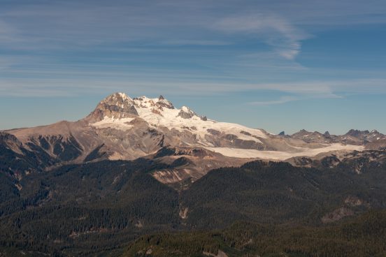
Overview: The Garibaldi at Squamish project is a proposed year-round destination mountain resort on Brohm Ridge, 15 km north of…
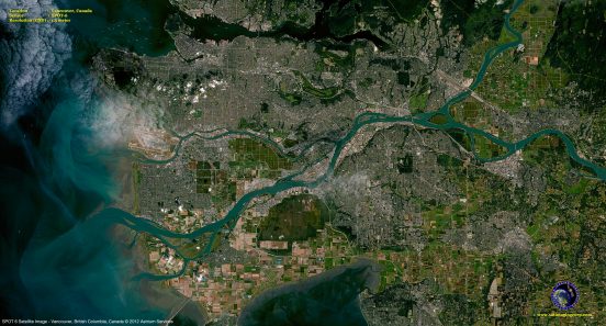
Overview: Statistics Canada creates different census map areas based upon population. In Metro Vancouver, for this lab, we will be…
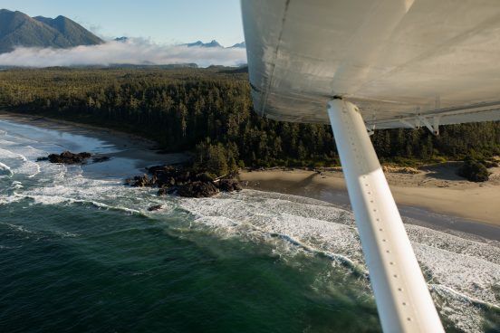
GEOB 270 Final Project The final project for GEOB 270 looked at the Tsunami risk for Tofino and Victoria, BC….
Overview: A storm surge, tidal surge or storm tide is a coastal flood or tsunami like phenomenon of rising water…