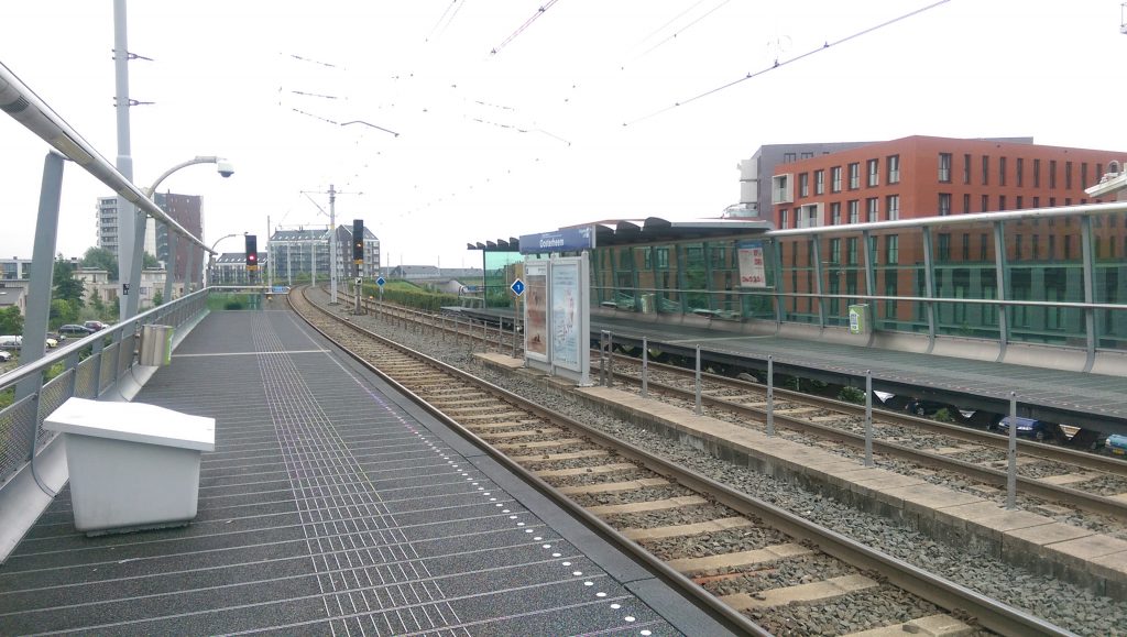
Using the tram system today in the area surrounding the Hague was a very cool experience not only because it was a fully immersive transportation experience, but also because we got to pass through a few suburban neighbourhoods that we otherwise wouldn’t have had reason to go and see. Something that I have noticed travelling around the Netherlands is that there is surprising continuity in the rail stations. That is to be expected in the underground stations as the choice of tile or cement structure is typically the same across underground transportation networks, but the ones that are outside all look very similar. It can be quite disorienting because I will feel like I’m somewhere other than where I am. The lack of major landforms makes me realize how much I really do depend on the mountains to orient myself back in Vancouver.
I wished the tour had afforded more time to walk around some of the neighbourhoods we passed, especially those recently planned one. The attitude some people have towards these newer neighbourhoods has surprised me I have to say. Most people think they look boring, or lifeless; I actually think they’re really nice! Of course they don’t have the charm or heritage of older city centres like Delft, but they look like perfectly pleasant places to live. I suppose the fact that I grew up in a suburb makes me a little partial to them, but when they are planned as well and serviced with public transportation like they are in the Netherlands it’s hard to find faults in my book.
In the afternoon when we visited HTM, the group responsible for the bus and tram network in the Hague region. Here we received a series of lectures on topics ranging from how the Transportation Authority and Politics interacts with HTM and other transportation providers to how they collect and utilize data in order to make decisions. The content of this lecture was really interesting. It was cool to be able to see where my specialization in GIS could potentially fit into the transportation planning industry. For the duration of the class I have been very interested in the learning topics and getting more curious about potentially working in the transportation field but I wasn’t sure what kind of positions there would realistically be for a B.A. Geographer. The value of visualizations and data management became quite clear though when it comes to transportation planning, and GIS is especially relevant for both of these processes.