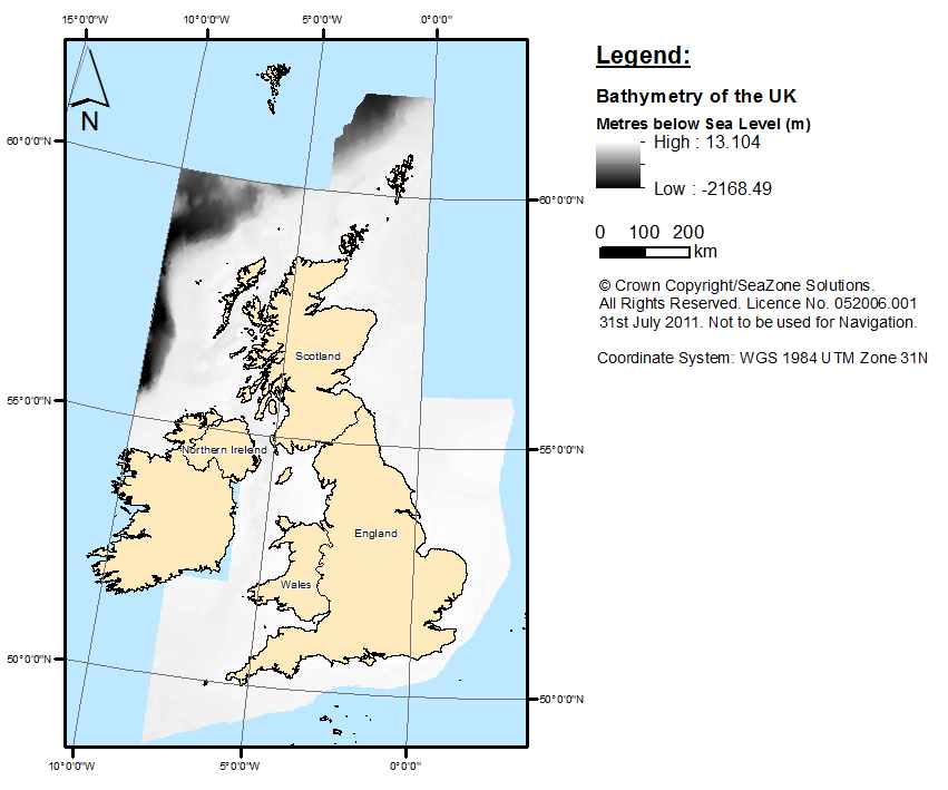
UK continental shelf bathymetric (depth to seabed in metres) data was selected and obtained from Digimap provided by the University of Edinburgh (available with a marine Digimap License). The raw data was downloaded as 6 Arcsecond Gridded Bathymetry (120km by 120km grids) in an ASC formal. The data is from 2009. Figure 1 is a map created to show the data after minor pre-processing.
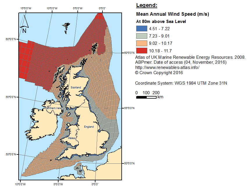
The wind speed shapefile has mean annual speed values (80 metres above sea level) for the UK continental shelf in metres per second (m/s). It was obtained from the Atlas of UK Marine Renewable Energy Resources and is freely available (The data is from 2009). Figure 2 shows the distribution of wind speed values.
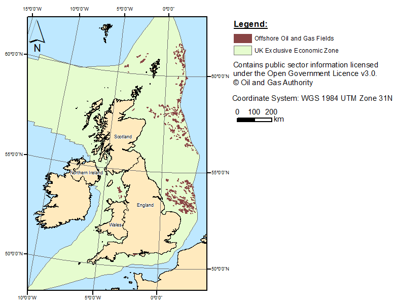
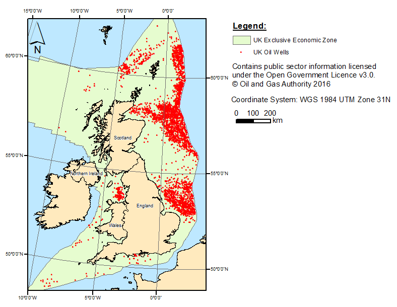
Offshore oil and gas well and field shapefiles were obtained from the Oil and Gas Authority Open Data Site and depict the oil and gas wells and fields within the UK continental Shelf (Figures 3 & 4 below). This data was available under the Open Government Licence and is therefore freely available (Updated on October 2016).
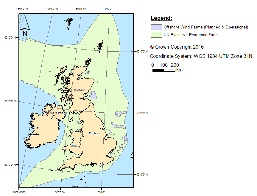
A shapefile containing all UK offshore wind activity was obtained from Crown Estate Website and shows all offshore activities related to wind energy; planned projects, projects under construction, and active/operational projects (Figure 5). This shapefile is also freely available (Updated on the 18th November 2016).
All data was projected in WGS 1984

