
So, based on the estimated results, would it be interesting to try to determine a few “least exposure paths” as references for cyclists to get from point A to B?
It turns out to be rather straight forward to do so, as network analysis is not necessary in this step and a combination of spatial analysis tools can then again do the job.
Cost Distance + Cost Path
Blurb of steps:
- generate starting location A1 and A2 & end location B as feature classes
- use “cost distance” to generate a cost surface based on bikeway value raster
- use “cost path” to obtain a best single route with least exposure experienced along the path
Example Result 1: From UBC to Stanley Park?
– exercise route to breath fresh air?
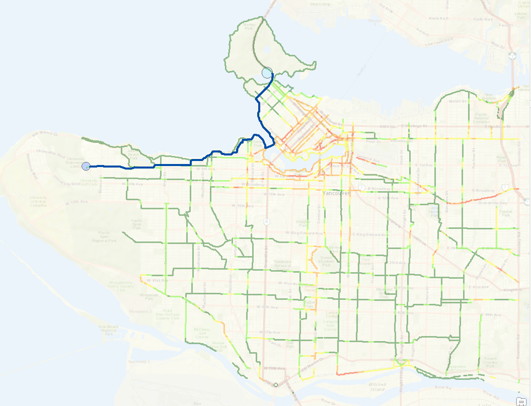
A: always go north as you can
Example Result 2 – From Southernmost to Stanley Park?
-cycling for a ticket to ride on the miniature train?
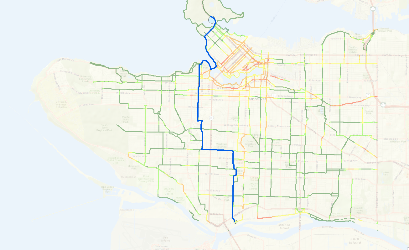
A: avoid industrial zones, ride along residential area and the seawall.