The following section contains information informing conditions for planting, within the City of Vancouver on local soils, plant hardiness zones, and ecosystem classification systems.
Vancouver soil classification

Figure 1 - Vancouver Soil Map adapted from Melissa Iverson, Dr. Maja Krzic, Dr. Art Bomke, Saeed Dyanatkar, Chris Crowley, Dr. Sean Smukler, Gladys Oka, Alisha Hackinen, and Shirley Ho (2013).
The Vancouver Soil Map, developed by a team of researchers at the University of British Columbia in 2013, provides information about the four major soil management groups and their characteristics in the city. Learning the characteristics of each is important for native soil management. Determined by their parent material, the four soil management groups include:
Bose-Heron
- Location: Mid-Vancouver including neighbourhoods at higher elevations (e.g. Queen Elizabeth Park, UBC)
- Texture: coarse; gravelly sandy loam or loamy sand
- Drainage: moderately well to well drained at the knoll and poorly drained in the depression
Whatcom-Scat
- Location: Higher elevations of east vancouver, West End
- Texture: Fine medium-silt loam and silty clay loam
- Drainage: moderately well to well drained at the slope and poorly drained at the depression
Langley-Cloverdale
- Location – Downtown, Kitsilano, depressions of East Vancouver
- Texture: silty clay loam or clay loam – usually stone-free
- Drainage: moderately poor to poorly drained
Delta-Tsawwassen
- Location – Marpole; Musqueum; along Fraser River in South Vancouver
- Texture: fine – silt loam and silty clay loam and medium textured (sandy loam and loamy sand) with sandy subsoil horizons
- Drainage: poorly drained
Plant hardiness zones
Plant hardiness zones were originally developed in the 1960s to inform what trees and shrubs could grow where across Canada. Now extending to the whole region including plants, the zones are based on average climatic conditions and a wide range of climatic variables including minimum winter temperatures, length of frost-free period, summer rainfall, maximum temperatures, snow cover, January rainfall, and maximum wind speed¹. Find your zone in Figure 2 below and in the updated pdf here: Link to pdf
Vancouver is in Zone 8a based on the 2024 update.
Figure 2 - Canada plant hardiness zones (2024 update).
Biogeoclimate ecosystem classification
The BEC (biogeoclimatic ecosystem classification) system is a province-wide ecosystem classification system developed in the 1960s-70s grouping native vegetation, soils, and topography into geographic areas with uniform climate for the purposes for forest, range, and wildlife management²³. The BEC system is useful when working in forest stands to determine plant relationships and soil types. Classification is based on ‘indicator plants’ which can be indicative of a specific ecosystem classification.
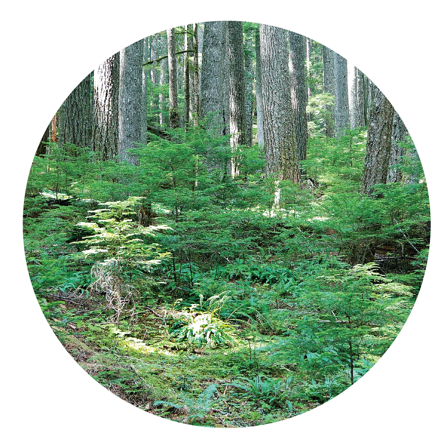
The Vancouver region is in the Coastal Western Hemlock – CWH zone, with western hemlock and amabilis fir as dominant climax trees as well as Douglas-fir, western redcedar, and Sitka spruce encompassing old-growth forest stands³.
The CWH zone is classified by⁴:
- Western hemlock most common species
- Douglas-fir found on drier and warmer subzones
- Amabilis fir on wetter and cooler subzones in higher elevations
- Yellow-cedar found in wetter, maritime subzones
- Sitka spruce restricted to floodplains and beaches in southern BC
- Grand fir, white pine, and bigleaf maple occur in warmer and drier southern subzones

Forests within Richmond, Delta, and Victoria are located in the Coastal Douglas-fir – CDF zone characterized by a milder ‘rainshadow’ effect dominated by Douglas-fir with an understory of Oregon grape and salal. Garry oak and arbutus are found on drier sites and nowhere else in Canada and western redcedar is found on wetter sites³.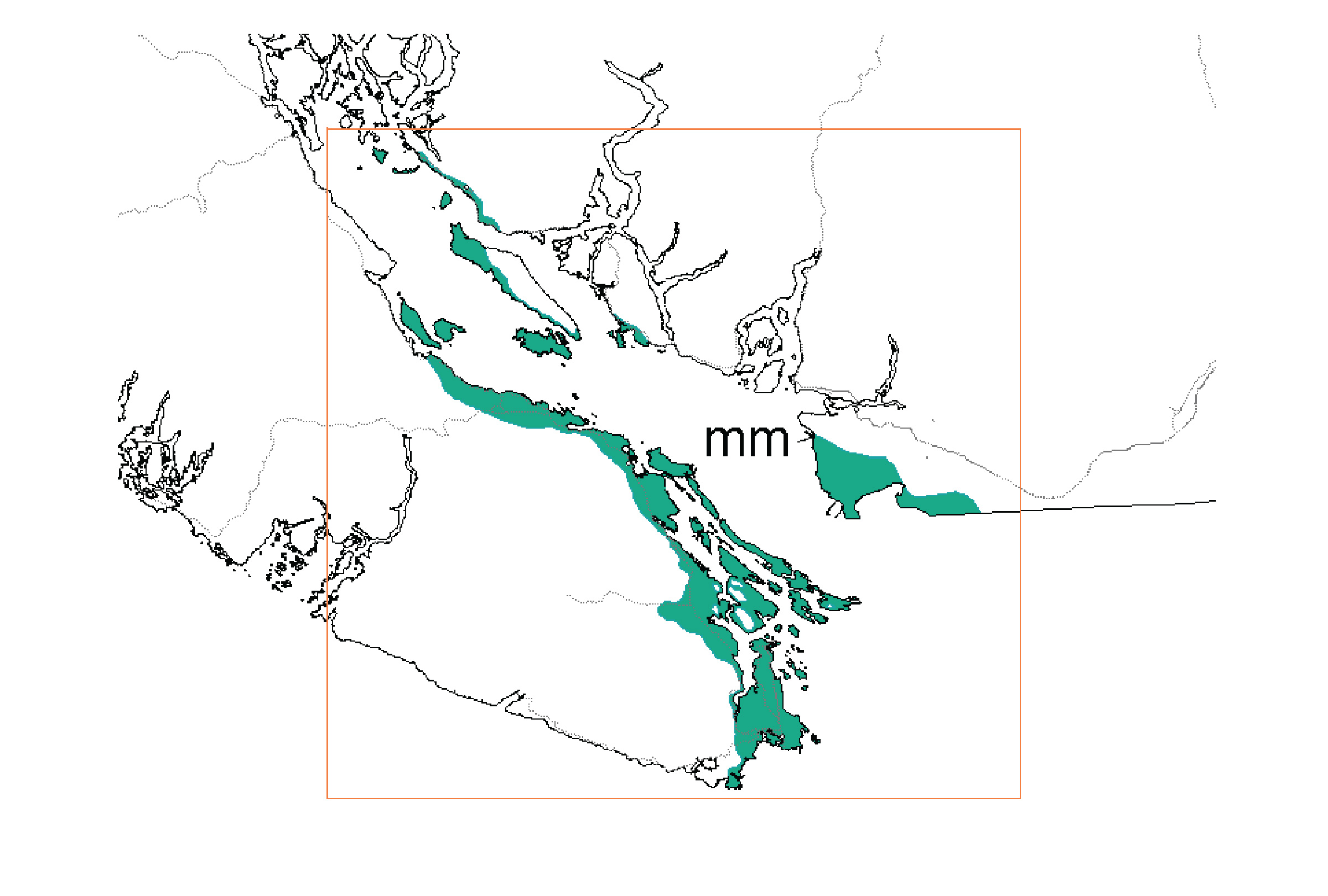
Inset map of CDF zone, image source from the UBC Centre for Forest Conservation Genetics.
The CDF zone is classified by⁴:
- Douglas fir most common and found across sites
- Western redcedar, western hemlock, grand fir, bigleaf maple, red alder, balsam poplar, Pacific crabapple, and Pacific dogwood found on moister sites
- Gary oak and arbutus found on sunny and dry sites (exclusive to zone)
More information about the BEC system can be found here and here. A full GIS data package of the BEC map can be found here.
1. Natural Resources Canada. Plant Hardiness Zones Canada Map. Government of Canada, 2024.
2. Forest Service British Columbia Research Branch. How BEC works Biogeoclimatic Ecosystem Classification Program., n.d.
3. Ministry of Forest, Lands, and Natural Resources Operations. Biogeoclimatic Zones of British Columbia. 2016.
4. University of British Columbia. About BEC and BGC Units. Center for Forest Conservation Genetics, n.d..