
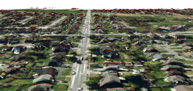
Data
- Building shapefile
Source: City of Surrey Open Data
Year: 2014
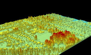
- LiDAR Point Cloud (LAS)
Source: Abacus-City of Surrey
Year: 2013
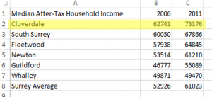
- Median Household Income
Source: City of Surrey Open Data
Year: 2014
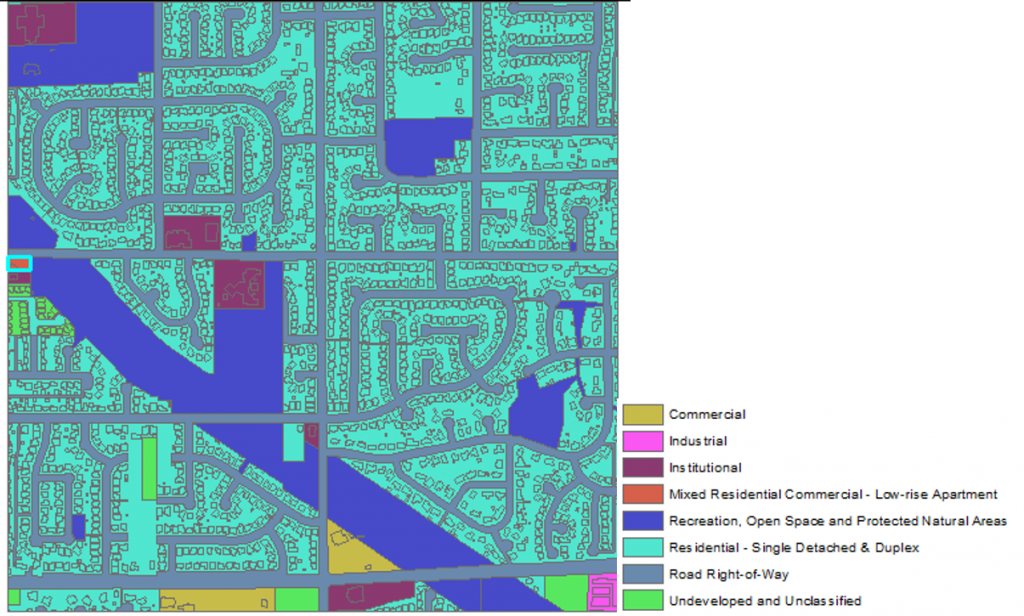
- Land use shapefile
Source: Metro Vancouver
Year: 2016
- Orthophoto
Source: City of Surrey
Year: 2013
Issue with this layer
This layer does not come with a projection. As a result, projection had to be added manually and matched with the other layers in order to complete the analysis.
Other References
Pelland, S., McKenney, D. W., Poissant, Y., Morris, R., Lawrence, K. M., Campbell, K. L., & Papadopol, P. (2006). The development of photovoltaic resource maps for Canada. Paper presented at the 31st Annual Conference of the Solar Energy Society of Canada (SESCI)
Maehlum, M. A. (2013). Solar Cell Comparison Chart – Mono-, Polycrystalline and Thin Film. Retrieved from http://energyinformative.org/solar-cell-comparison-chart-mono-polycrystalline-thin-film/
Photovoltaic software. (n.d.). How to calculate the annual solar energy output of a photovoltaic system?. Retrieved from http://photovoltaic-software.com/PV-solar-energy-calculation.php