IDRISI is a remote sensing software that specialize in raster analytical functionality, covering the full spectrum of GIS and remote sensing needs
from database query, to spatial modeling, to image enhancement and classification.
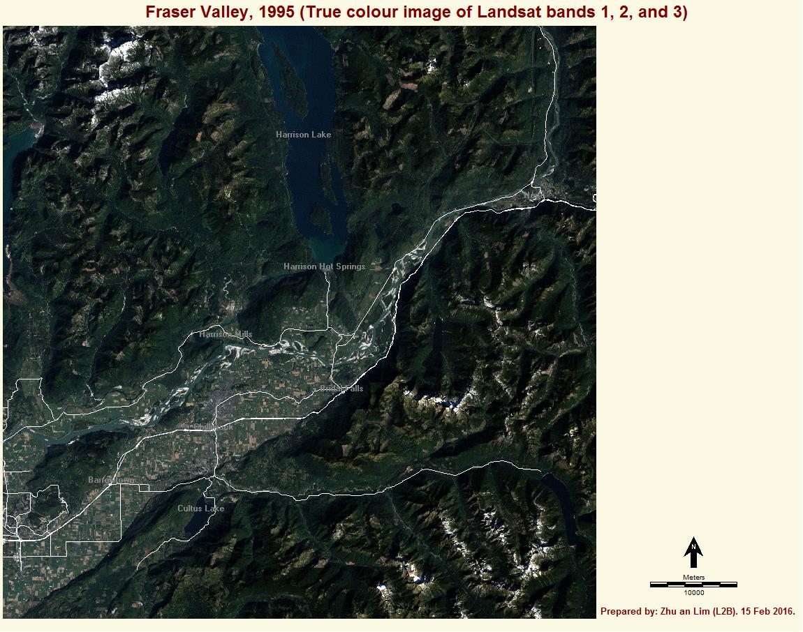
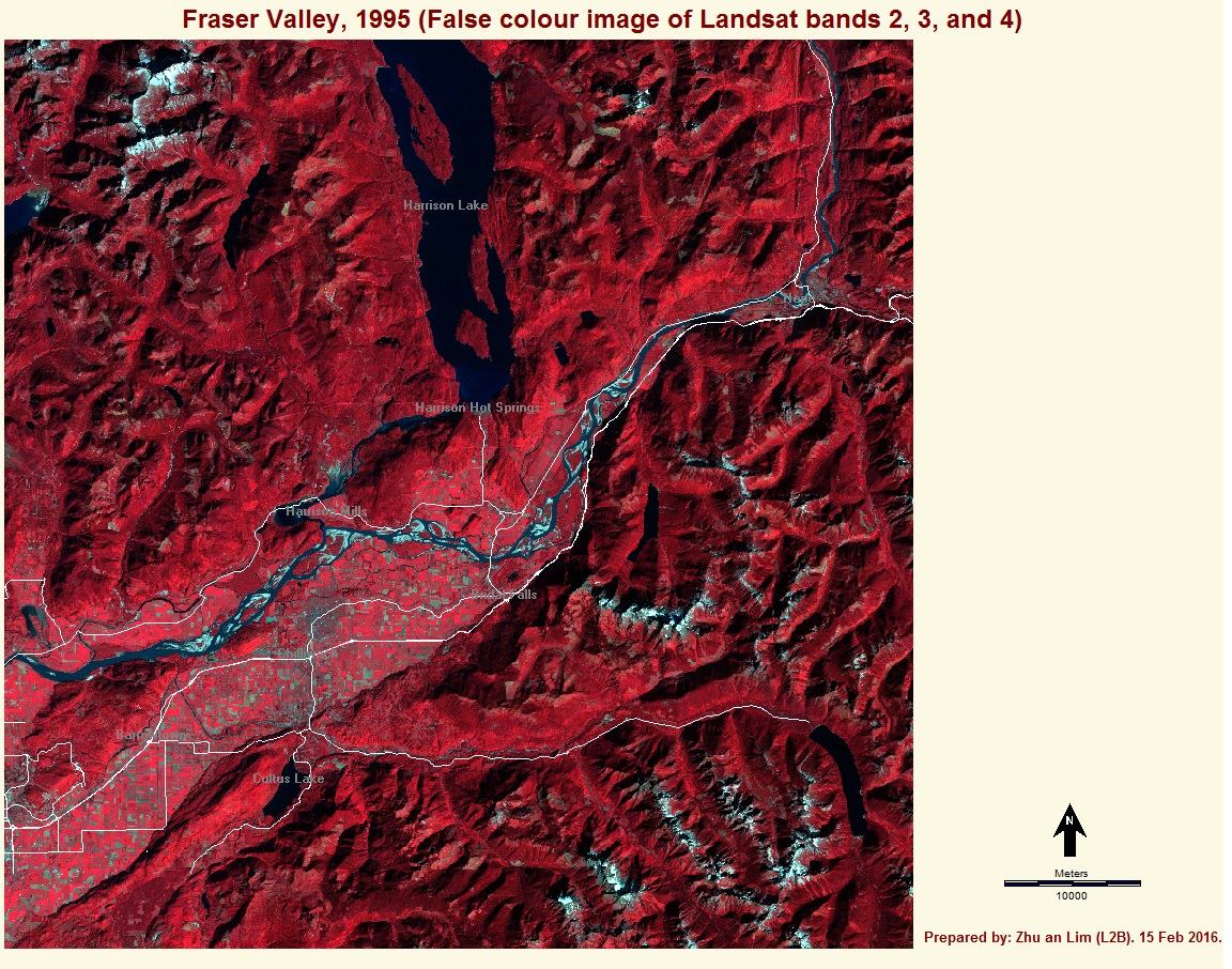
Using the create composite tool in IDRISI, we are able to create meaningful composite images such as a true colour image or a false colour image by choosing the specific combinations of bands.
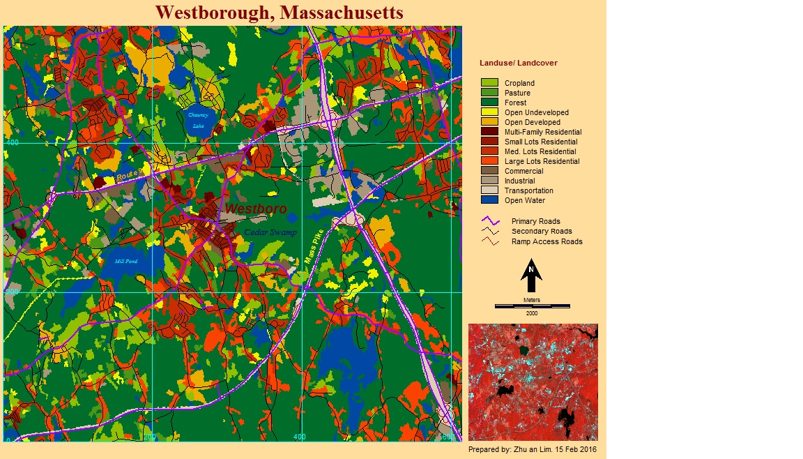
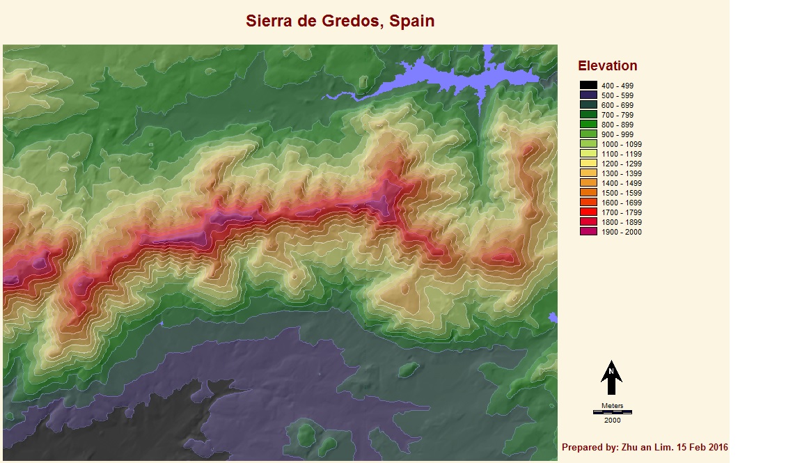
Similar to GIS, IDRISI allows the use of both raster and and vector data, to create meaning maps for the use of planning, development, assessment, etc.
We can also combine and blend different layers of information and data (e.g. vector – contour lines, and raster – DEM) by using the blending and transparency tool.
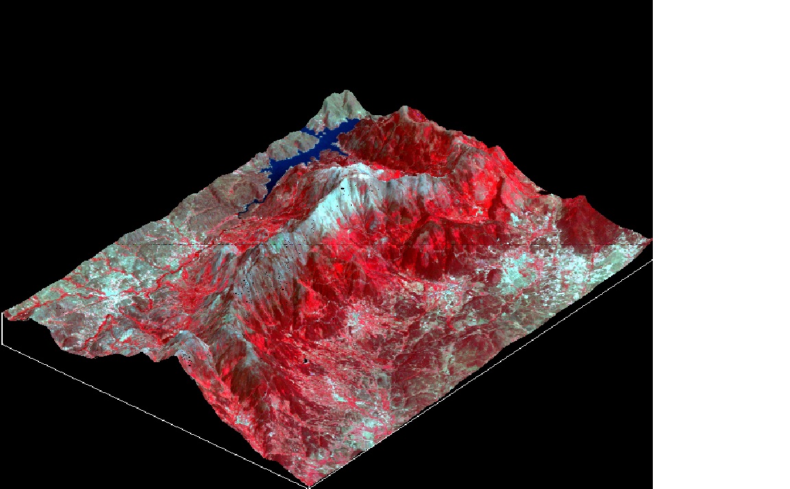
IDRISI also has a ortho tool to produce three-dimensional images from a DEM and other composite images. From this, we are even able to use the fly through and Illumination tool to look at the study area from a 3d perspective.
It is interesting and I will follow