
Abstract
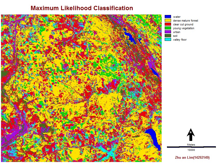
Montana’s department of natural resources and conservation is interested in evaluating the status of forest in 2002, in an area southwest of Olney. I am tasked to analyse the extent of clear-cut logging within the area, as well as the forest structure and other land cover types within the study area. In order to do this, I rely on Landsat 7 Enhanced Thematic Mapper plus (ETM+) imagery to facilitate the analysis. After obtaining the Landsat images, I performed an unsupervised classification using two hard classifiers CLUSTER and ISOCLUST for analysis, as well as a supervised classification which uses Minimum Distance classification and Maximum Likelihood classification analysis. This allowed me to produce maps with different types of specific land cover classifications to support my analysis and help with the visualization of the study area. The area has an extensive forest cover of dense mature forest, which accounts for approximately 39% of the entire study area. However, clear-cut logging is also quite significant as it accounts for almost 26% of the total area. The area of older logged areas with young regrowth is only 12.5% of the total area, which indicates that logging activities are occurring faster than the regrowth of new vegetation. There are of course errors and uncertainties associated with this study such as the misclassification of classes. However, this study provides a good estimate of the actual forest cover and clear-cut area.
Full report: Geob373finalproj.